Transport Functions
Multimodal
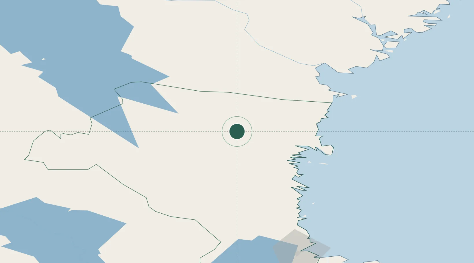
Hub Profile
Place type
Populated place
Region
Gävleborg
Time zone
Europe/Stockholm
Elevation
42 m
Location
Nearby Logistics Neighbours
Cities
- 1Kalv23 km
- 2Hudiksvall32 km
- 3Iggesund37 km
- 4Stocka40 km
- 5Stöde61 km
Ports
- 1Hudiksvall33 km
- 2Iggesund36 km
- 3Stocka41 km
- 4Stockvik67 km
- 5Soderhamn69 km
Airports
- 1Söderhamn Airport73 km
- 2Sundsvall-Härnösand Airport87 km
- 3Sveg Airport114 km
- 4Gävle Sandviken Airport143 km
- 5Kramfors-Sollefteå Höga Kusten Airport145 km
Trade Zones
- 1Stockholm Free Zone292 km
- 2Turku Free Zone342 km
- 3Freeport of Hanko410 km
- 4Jönköping Free Zone476 km
- 5Gothenburg Boundless Customs Warehouse533 km
DatabookThe Record of Consolidated Knowledge
Sweden beyond logistics?