Transport Functions
Port
Rail
Road
Airport
Hub Profile
Place type
Provincial seat
Region
Gävleborg
Population
16,081
Time zone
Europe/Stockholm
Elevation
2 m
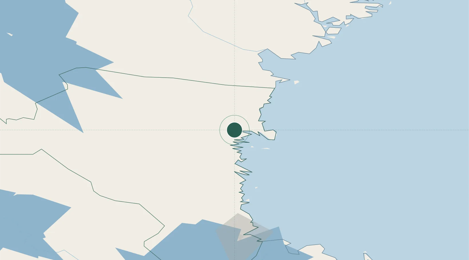
Location
Nearby Logistics Neighbours
Airports
- 1Söderhamn Airport53 km
- 2Sundsvall-Härnösand Airport90 km
- 3Gävle Sandviken Airport127 km
- 4Sveg Airport145 km
- 5Kramfors-Sollefteå Höga Kusten Airport150 km
Trade Zones
- 1Stockholm Free Zone271 km
- 2Turku Free Zone310 km
- 3Freeport of Hanko379 km
- 4Jönköping Free Zone472 km
- 5Gothenburg Boundless Customs Warehouse537 km
DatabookThe Record of Consolidated Knowledge
Sweden beyond logistics?