Transport Functions
Port
Road
Hub Profile
Place type
Populated place
Region
Kalmar
Time zone
Europe/Stockholm
Elevation
2 m
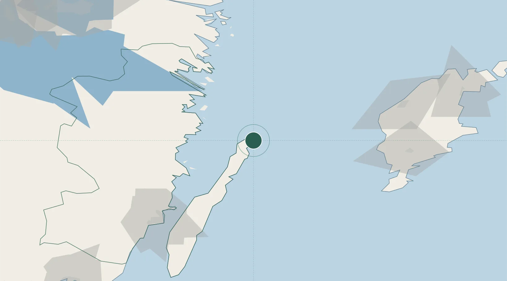
Location
Nearby Logistics Neighbours
Cities
- 1Simpevarp28 km
- 2Flivik39 km
- 3Oskarshamn41 km
- 4Kårehamn44 km
- 5Mönsterås52 km
Ports
- 1Figeholm36 km
- 2Oskarshamn40 km
- 3Stora Jatterson41 km
- 4Vastervik55 km
- 5Verkeback56 km
Airports
- 1Visby Airport83 km
- 2Kalmar Airport87 km
- 3Linköping City Airport146 km
- 4Norrköping Airport148 km
- 5Växjö Kronoberg Airport150 km
Trade Zones
- 1Jönköping Free Zone186 km
- 2Stockholm Free Zone232 km
- 3Liepāja SEZ264 km
- 4Free port of Ventspils265 km
- 5MTS Malmö Transport and Spedition312 km
DatabookThe Record of Consolidated Knowledge
Sweden beyond logistics?