UN/LOCODE hub · Sweden
SESPG

Skärplinge

60.4667°, 17.7500°
2
Transport functions

Transport Functions

Road
Multimodal
UN/LOCODE

Hub Profile

Region
C
GeoNames

Location

Location of SESPG
Natural Earth 10m (public domain) · C · SESPG · 60.47, 17.75GoogleOSMYandex

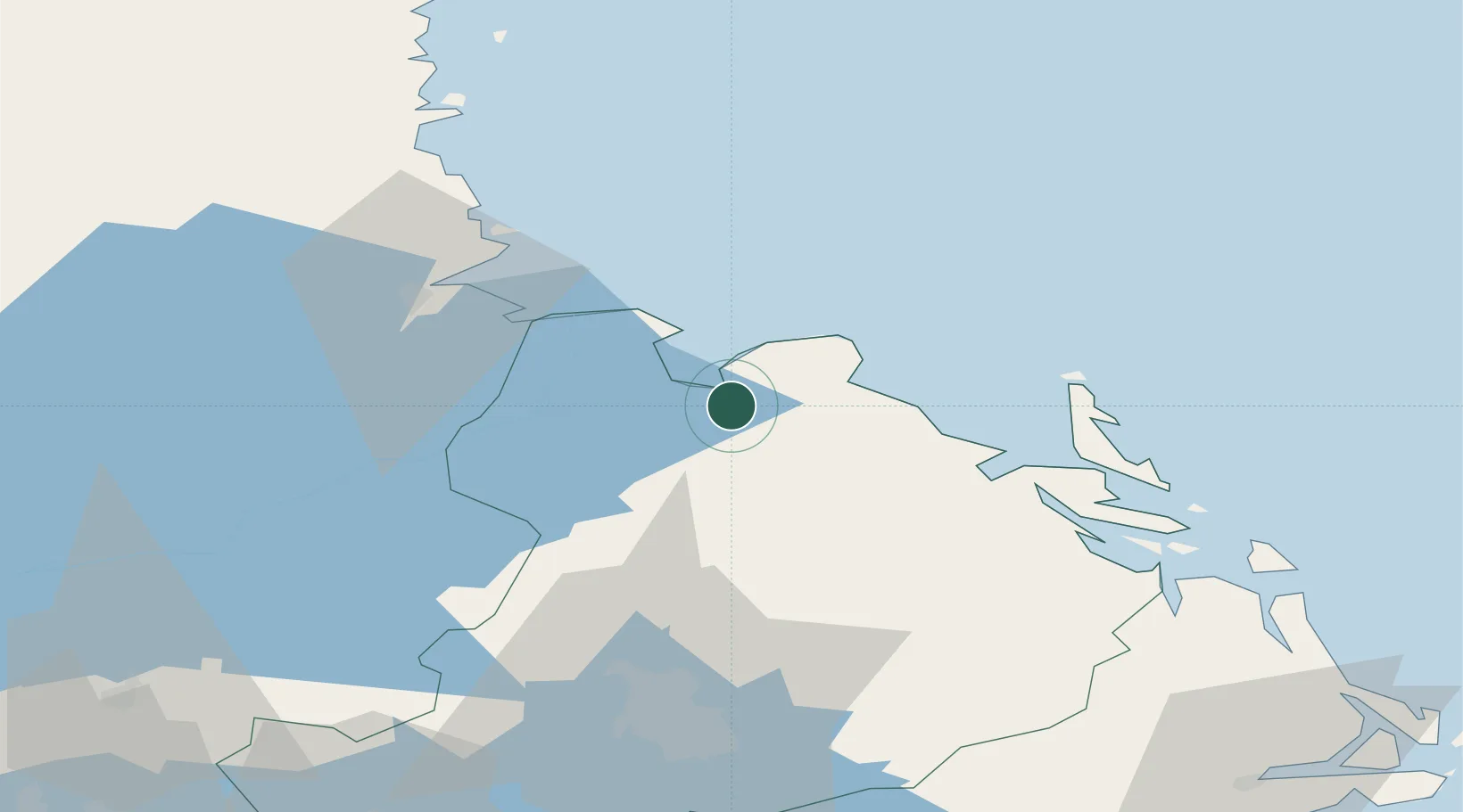
Nearby Logistics Neighbours

Cities
  1. 1Grönö6 km
  2. 2Karlholmsbruk9 km
  3. 3Älvkarleby20 km
  4. 4Forsmark25 km
  5. 5Tobo25 km
Nearest neighbours — logibook spatial index (haversine) over the source coordinates
Ports
  1. 1Skutskar28 km
  2. 2Karskar36 km
  3. 3Gavle40 km
  4. 4Hargshamn50 km
  5. 5Norrsundet61 km
Nearest neighbours — logibook spatial index (haversine) over the source coordinates
Airports
  1. 1Gävle Sandviken Airport46 km
  2. 2Stockholm-Arlanda Airport92 km
  3. 3Söderhamn Airport95 km
  4. 4Stockholm Västerås Airport116 km
  5. 5Dala Airport123 km
Nearest neighbours — logibook spatial index (haversine) over the source coordinates
Trade Zones
  1. 1Stockholm Free Zone126 km
  2. 2Turku Free Zone245 km
  3. 3Freeport of Hanko293 km
  4. 4Jönköping Free Zone366 km
  5. 5Free port of Ventspils404 km
Nearest neighbours — logibook spatial index (haversine) over the source coordinates
DatabookThe Record of Consolidated Knowledge
Sweden beyond logistics?
Browse databook

All Sources

LocationsUN/LOCODE
UN/LOCODE — free
Portsthe NGA World Port Index
Public domain (US gov)
AirportsOurAirports
Public domain
Trade Zonesthe World Bank SEZ database
CC BY 4.0
Trade ZonesOpen Zone Map
CC BY
← Sweden locations