Transport Functions
Rail
Road
Hub Profile
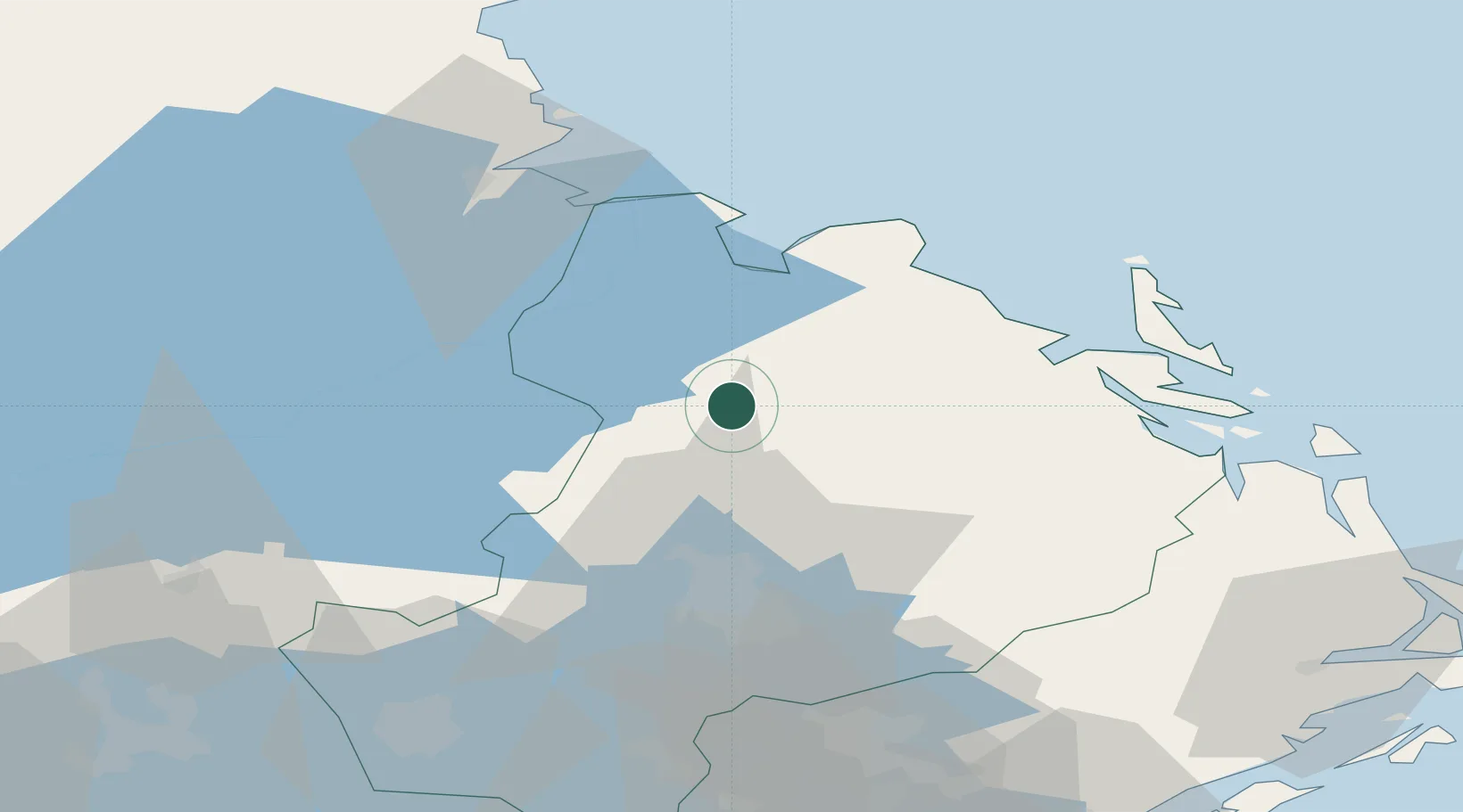
Place type
Populated place
Region
Uppsala
Population
610
Time zone
Europe/Stockholm
Elevation
26 m
Location
Nearby Logistics Neighbours
Cities
- 1Skärplinge25 km
- 2Karlholmsbruk30 km
- 3Grönö30 km
- 4Forsmark31 km
- 5Älvkarleby37 km
Ports
- 1Hargshamn46 km
- 2Skutskar46 km
- 3Karskar52 km
- 4Gavle55 km
- 5Hallstavik57 km
Airports
- 1Gävle Sandviken Airport54 km
- 2Stockholm-Arlanda Airport69 km
- 3Stockholm Västerås Airport92 km
- 4Stockholm-Bromma Airport101 km
- 5Eskilstuna Airport113 km
Trade Zones
- 1Stockholm Free Zone104 km
- 2Turku Free Zone253 km
- 3Freeport of Hanko295 km
- 4Jönköping Free Zone342 km
- 5Free port of Ventspils388 km
DatabookThe Record of Consolidated Knowledge
Sweden beyond logistics?