Transport Functions
Port
Rail
Road
Hub Profile
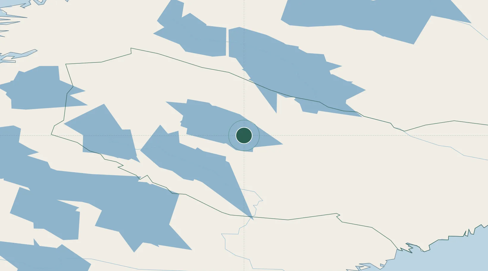
Place type
Provincial seat
Region
Västerbotten
Population
2,188
Time zone
Europe/Stockholm
Elevation
396 m
Location
Nearby Logistics Neighbours
Cities
- 1Adak76 km
- 2Vännäs183 km
- 3Mo i Rana191 km
- 4Nordmaling194 km
- 5Rundvik207 km
Ports
- 1Mo I Rana193 km
- 2Nordmaling206 km
- 3Rundvik208 km
- 4Ornskoldsvik217 km
- 5Domsjo219 km
Airports
- 1Storuman Airport32 km
- 2Vilhelmina South Lapland Airport59 km
- 3Lycksele Airport98 km
- 4Arvidsjaur Airport115 km
- 5Hemavan Airport122 km
Trade Zones
- 1Oulu Port Free Warehouse Area390 km
- 2Turku Free Zone579 km
- 3Stockholm Free Zone642 km
- 4Freeport of Hanko657 km
- 5Port of Hamina-Kotka716 km
DatabookThe Record of Consolidated Knowledge
Sweden beyond logistics?