Transport Functions
Port
Rail
Road
Hub Profile
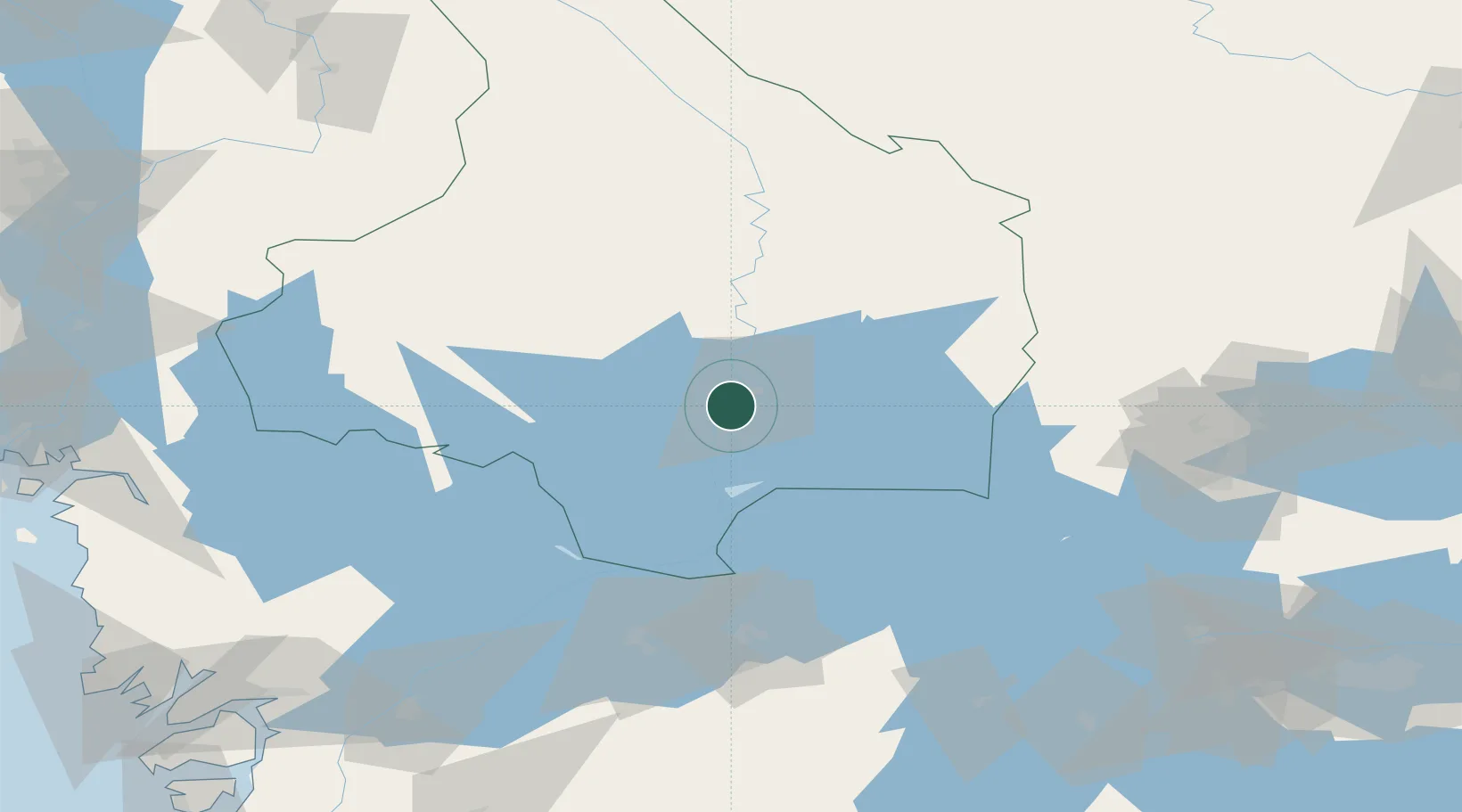
Place type
Provincial seat
Region
Värmland
Population
13,605
Time zone
Europe/Stockholm
Elevation
56 m
Location
Nearby Logistics Neighbours
Ports
- 1Halden119 km
- 2Sarpsborg133 km
- 3Stromstad137 km
- 4Fredrikstad142 km
- 5Uddevalla143 km
Airports
- 1Karlstad Airport14 km
- 2Karlskoga Airport60 km
- 3Hagfors Airport77 km
- 4Örebro Airport92 km
- 5Torsby Airport95 km
Trade Zones
DatabookThe Record of Consolidated Knowledge
Sweden beyond logistics?