UN/LOCODE hub · Sweden
SESKT

Skattkärr

59.4167°, 13.6333°
1
Transport functions

Transport Functions

Port
UN/LOCODE

Hub Profile

Region
S
GeoNames

Location

Location of SESKT
Natural Earth 10m (public domain) · S · SESKT · 59.42, 13.63GoogleOSMYandex

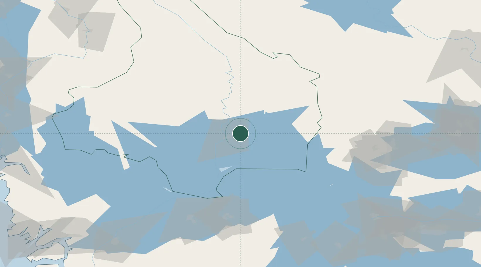
Nearby Logistics Neighbours

Cities
  1. 1Karlstad9 km
  2. 2Skoghall15 km
  3. 3Edsvalla26 km
  4. 4Älvenäs26 km
  5. 5Vålberg27 km
Nearest neighbours — logibook spatial index (haversine) over the source coordinates
Ports
  1. 1Halden132 km
  2. 2Sarpsborg145 km
  3. 3Stromstad151 km
  4. 4Fredrikstad154 km
  5. 5Uddevalla157 km
Nearest neighbours — logibook spatial index (haversine) over the source coordinates
Airports
  1. 1Karlstad Airport17 km
  2. 2Karlskoga Airport50 km
  3. 3Hagfors Airport67 km
  4. 4Örebro Airport83 km
  5. 5Torsby Airport90 km
Nearest neighbours — logibook spatial index (haversine) over the source coordinates
Trade Zones
  1. 1Jönköping Free Zone185 km
  2. 2Gothenburg Boundless Customs Warehouse218 km
  3. 3Stockholm Free Zone254 km
  4. 4Freeport of Copenhagen- Nordhavn416 km
  5. 5MTS Malmö Transport and Spedition425 km
Nearest neighbours — logibook spatial index (haversine) over the source coordinates
DatabookThe Record of Consolidated Knowledge
Sweden beyond logistics?
Browse databook

All Sources

LocationsUN/LOCODE
UN/LOCODE — free
Portsthe NGA World Port Index
Public domain (US gov)
AirportsOurAirports
Public domain
Trade Zonesthe World Bank SEZ database
CC BY 4.0
Trade ZonesOpen Zone Map
CC BY
← Sweden locations