Transport Functions
Port
Road
Hub Profile
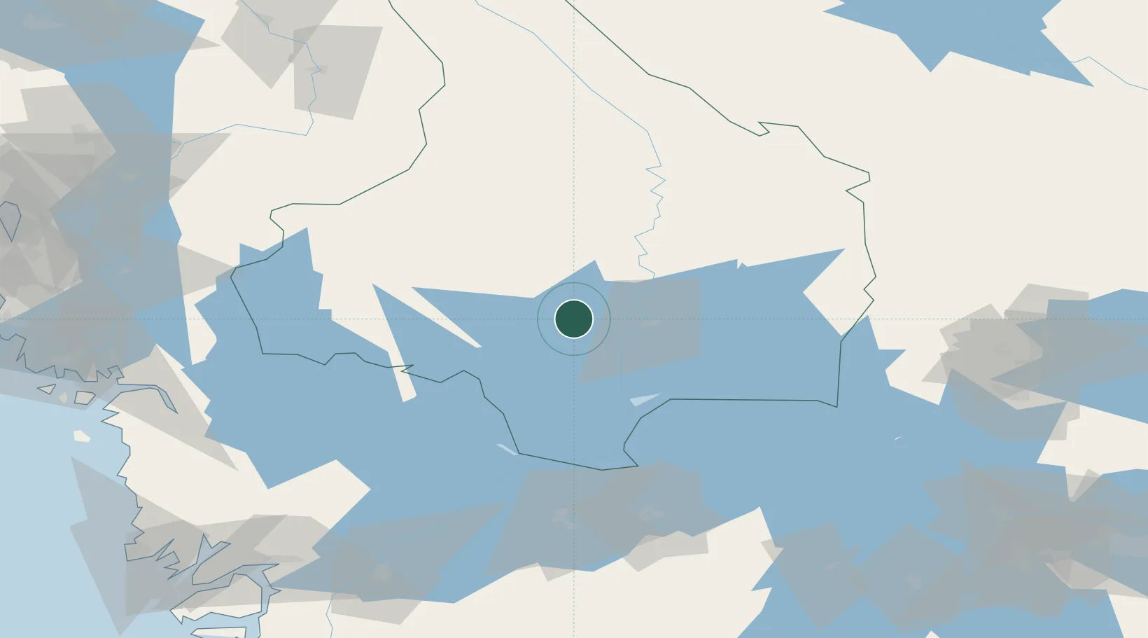
Place type
Populated place
Region
Värmland
Population
2,848
Time zone
Europe/Stockholm
Elevation
68 m
Location
Nearby Logistics Neighbours
Ports
- 1Halden106 km
- 2Sarpsborg118 km
- 3Stromstad125 km
- 4Fredrikstad128 km
- 5Grebbestad136 km
Airports
- 1Karlstad Airport11 km
- 2Hagfors Airport73 km
- 3Karlskoga Airport76 km
- 4Torsby Airport85 km
- 5Råda Air Base101 km
Trade Zones
DatabookThe Record of Consolidated Knowledge
Sweden beyond logistics?