Seaport · Sweden

UddevallaSEUDD

58.3347°, 11.8775°
4.9 m
Channel depth
13.6
Port liner connectivity
Uddevalla is also a UN/LOCODE logistics hub →

Channel & Berth Profile

SEA LEVEL (CD)CHANNEL BEDChannel · 4.9 mCargo pier · 4.9 mOil terminal · 9.4 mAnchorage · 23.2 m
NGA World Port Index

Pilotage, Tugs & Services

Pilotage compulsoryYES
Tug assistanceYES
Potable waterYES
Diesel bunkersYES
MedicalYES
Garbage disposalYES
NGA World Port Index

Facilities & Capabilities

ContainerYES
Ro-RoYES
Liquid bulkYES
Dry bulkYES
Oil terminalNO
Break bulkYES
Dry dock
RepairsNO
BunkeringYES
Rail linkYES
Dangerous cargo
ISPS security
NGA World Port Index

Harbour Specifications

Harbour size
Medium
NGA World Port Index
Harbour type
River (Basins)
NGA World Port Index
Shelter
Good
NGA World Port Index
Water body
Kattegat; North Atlantic Ocean
NGA World Port Index
Tidal range
1 m
NGA World Port Index
Overhead limit
Yes
NGA World Port Index
Pilotage
Yes
NGA World Port Index

Liner Connectivity

13.6
PLSCI

Port Liner Shipping Connectivity Index for Uddevalla, as published by UNCTAD for the latest available quarter. Higher values indicate stronger scheduled liner-shipping integration.

Shown relative to the highest per-port PLSCI in the dataset (1,657.9).
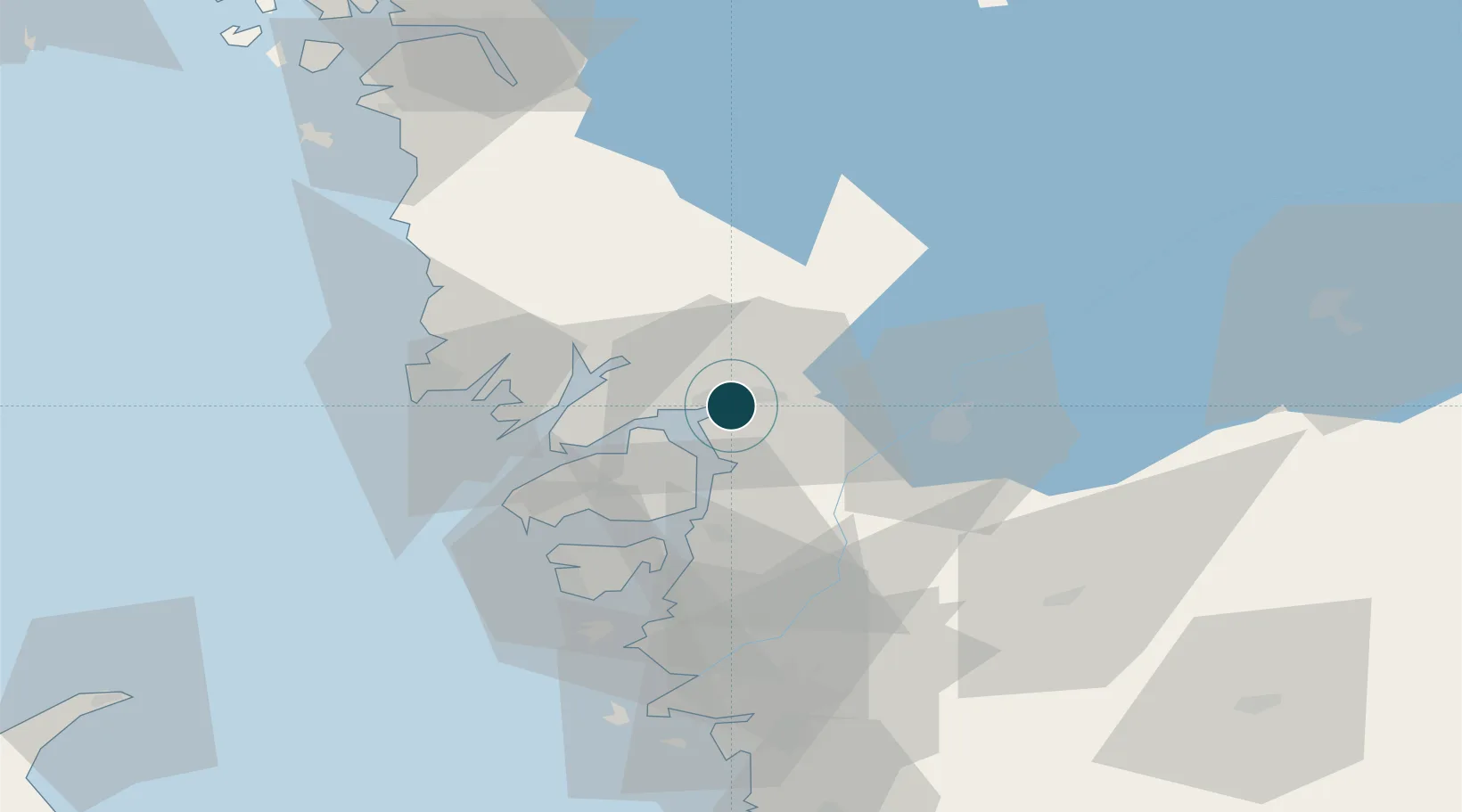
UNCTAD · Port Liner Shipping Connectivity Index

Location

Location of SEUDD
Natural Earth 10m (public domain) · Västra Götaland · SEUDD · 58.33, 11.88GoogleOSMYandex

Nearby Logistics Neighbours

Ports
  1. 1Lysekil26 km
  2. 2Brofjorden27 km
  3. 3Stenungsund29 km
  4. 4Bovallstrand36 km
  5. 5Hunnebostrand36 km
Nearest neighbours — logibook spatial index (haversine) over the source coordinates
Cities
  1. 1Svanesund23 km
  2. 2Brastad24 km
  3. 3Sjuntorp25 km
  4. 4Trollhättan26 km
  5. 5Vänersborg26 km
Nearest neighbours — logibook spatial index (haversine) over the source coordinates
Airports
  1. 1Trollhättan-Vänersborg Airport27 km
  2. 2Såtenäs Air Base50 km
  3. 3Säve Airport62 km
  4. 4Råda Air Base71 km
  5. 5Göteborg Landvetter Airport78 km
Nearest neighbours — logibook spatial index (haversine) over the source coordinates
Trade Zones
  1. 1Gothenburg Boundless Customs Warehouse70 km
  2. 2Jönköping Free Zone145 km
  3. 3Freeport of Copenhagen- Nordhavn295 km
  4. 4MTS Malmö Transport and Spedition312 km
  5. 5Stockholm Free Zone376 km
Nearest neighbours — logibook spatial index (haversine) over the source coordinates
DatabookThe Record of Consolidated Knowledge
Sweden beyond logistics?
Browse databook

All Sources

Portsthe NGA World Port Index
Public domain (US gov)
Logistics performanceUNCTAD
CC BY 3.0 IGO
AirportsOurAirports
Public domain
LocationsUN/LOCODE
UN/LOCODE — free
Trade Zonesthe World Bank SEZ database
CC BY 4.0
Trade ZonesOpen Zone Map
CC BY
← Sweden ports