UN/LOCODE hub · Sweden
SEALN

Älvenäs

59.3833°, 13.1833°
1
Transport functions

Transport Functions

Port
UN/LOCODE

Hub Profile

Region
S
GeoNames

Location

Location of SEALN
Natural Earth 10m (public domain) · S · SEALN · 59.38, 13.18GoogleOSMYandex

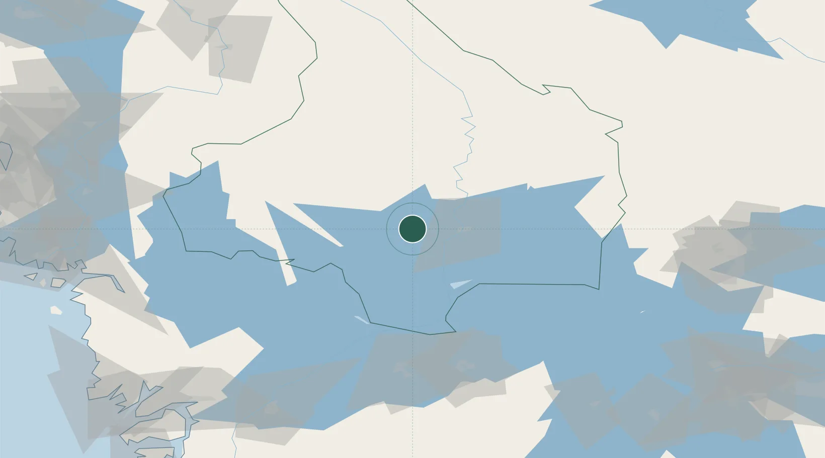
Nearby Logistics Neighbours

Cities
  1. 1Vålberg2 km
  2. 2Edsvalla6 km
  3. 3Gruvön7 km
  4. 4Skoghall15 km
  5. 5Karlstad18 km
Nearest neighbours — logibook spatial index (haversine) over the source coordinates
Ports
  1. 1Halden107 km
  2. 2Sarpsborg119 km
  3. 3Stromstad125 km
  4. 4Fredrikstad129 km
  5. 5Grebbestad136 km
Nearest neighbours — logibook spatial index (haversine) over the source coordinates
Airports
  1. 1Karlstad Airport11 km
  2. 2Hagfors Airport74 km
  3. 3Karlskoga Airport75 km
  4. 4Torsby Airport87 km
  5. 5Råda Air Base99 km
Nearest neighbours — logibook spatial index (haversine) over the source coordinates
Trade Zones
  1. 1Jönköping Free Zone187 km
  2. 2Gothenburg Boundless Customs Warehouse203 km
  3. 3Stockholm Free Zone279 km
  4. 4Freeport of Copenhagen- Nordhavn409 km
  5. 5MTS Malmö Transport and Spedition420 km
Nearest neighbours — logibook spatial index (haversine) over the source coordinates
DatabookThe Record of Consolidated Knowledge
Sweden beyond logistics?
Browse databook

All Sources

LocationsUN/LOCODE
UN/LOCODE — free
Portsthe NGA World Port Index
Public domain (US gov)
AirportsOurAirports
Public domain
Trade Zonesthe World Bank SEZ database
CC BY 4.0
Trade ZonesOpen Zone Map
CC BY
← Sweden locations