Transport Functions
Port
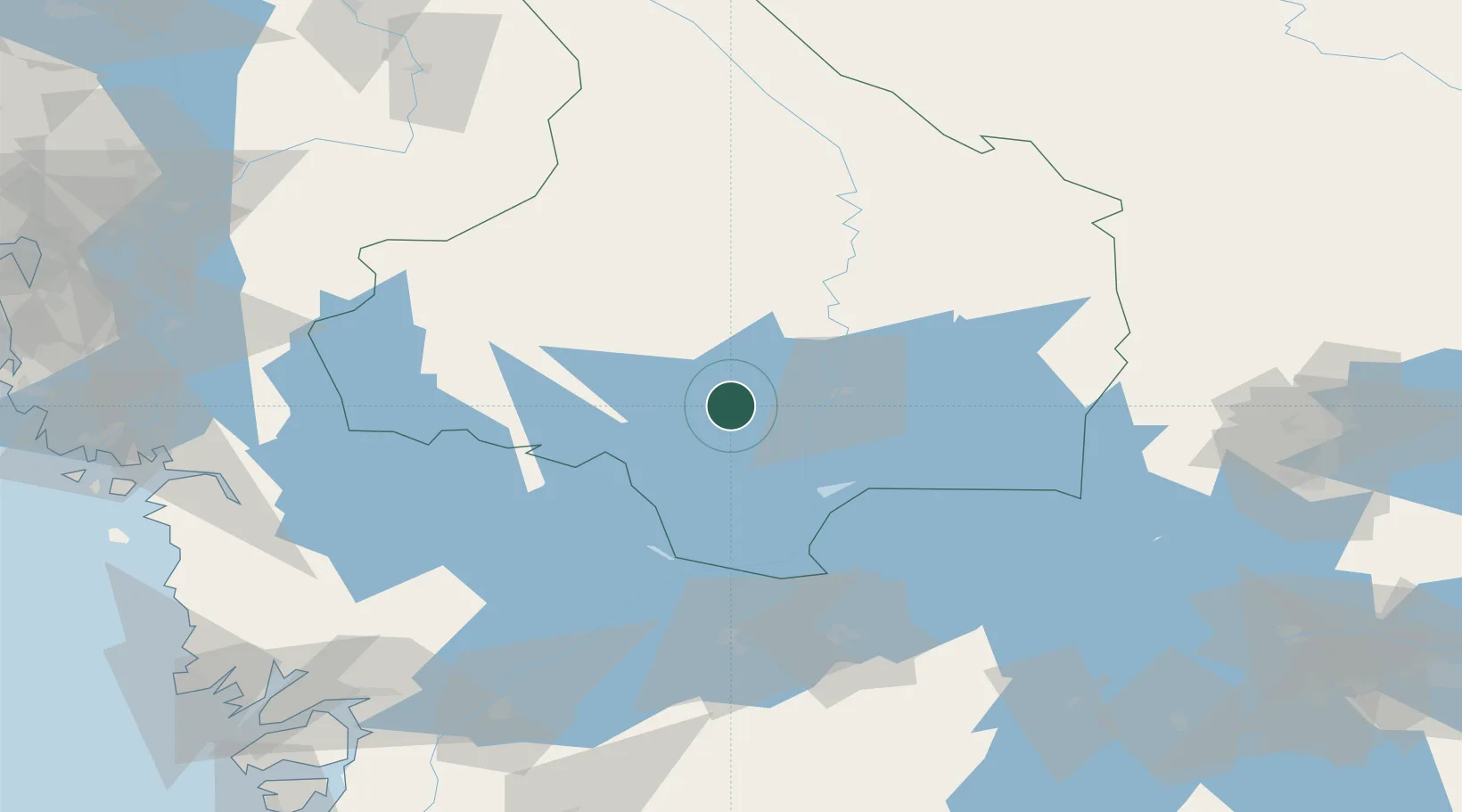
Hub Profile
Place type
Populated place
Region
Värmland
Time zone
Europe/Stockholm
Elevation
50 m
Location
Nearby Logistics Neighbours
Ports
- 1Halden102 km
- 2Sarpsborg115 km
- 3Stromstad120 km
- 4Fredrikstad124 km
- 5Grebbestad130 km
Airports
- 1Karlstad Airport18 km
- 2Karlskoga Airport78 km
- 3Hagfors Airport81 km
- 4Torsby Airport92 km
- 5Råda Air Base93 km
Trade Zones
DatabookThe Record of Consolidated Knowledge
Sweden beyond logistics?