Transport Functions
Rail
Road
Hub Profile
Region
W
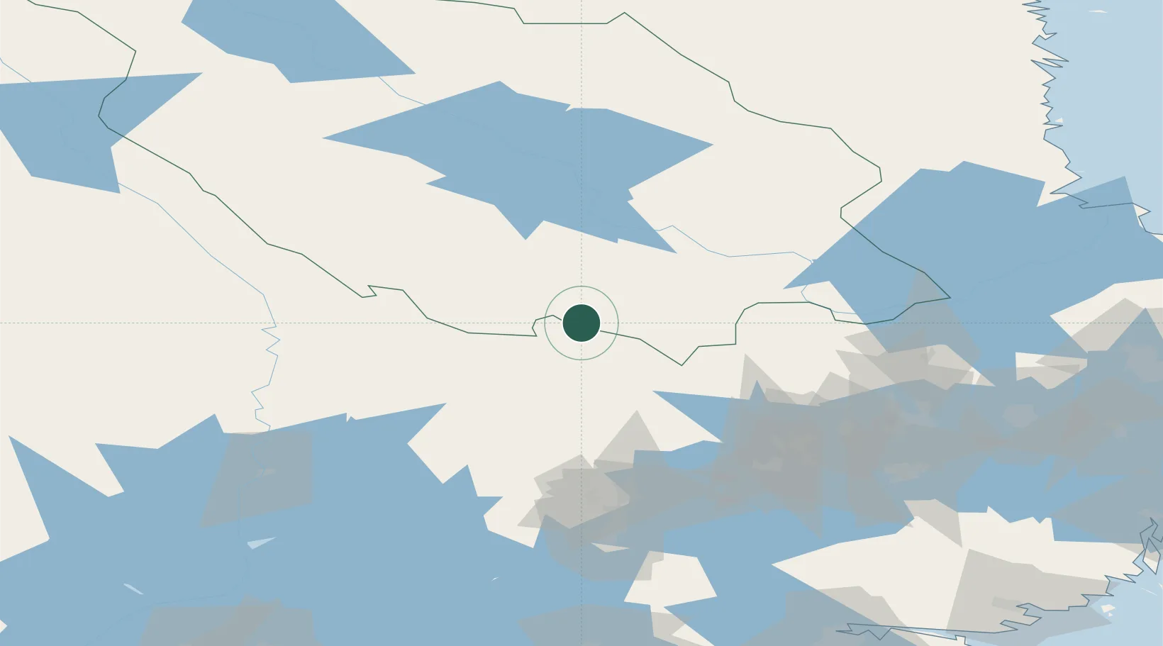
Location
Nearby Logistics Neighbours
Cities
- 1Riddarhyttan45 km
- 2Lesjöfors46 km
- 3Grythyttan50 km
- 4Kvarnsveden54 km
- 5Dala-Järna63 km
Ports
- 1Vasteras102 km
- 2Gavle137 km
- 3Karskar142 km
- 4Skutskar147 km
- 5Norrsundet152 km
Airports
- 1Dala Airport48 km
- 2Hagfors Airport78 km
- 3Karlskoga Airport86 km
- 4Örebro Airport96 km
- 5Mora Airport101 km
Trade Zones
- 1Stockholm Free Zone194 km
- 2Jönköping Free Zone263 km
- 3Gothenburg Boundless Customs Warehouse321 km
- 4Turku Free Zone401 km
- 5Freeport of Hanko441 km
DatabookThe Record of Consolidated Knowledge
Sweden beyond logistics?