Transport Functions
Rail
Road
Hub Profile
Place type
Populated place
Region
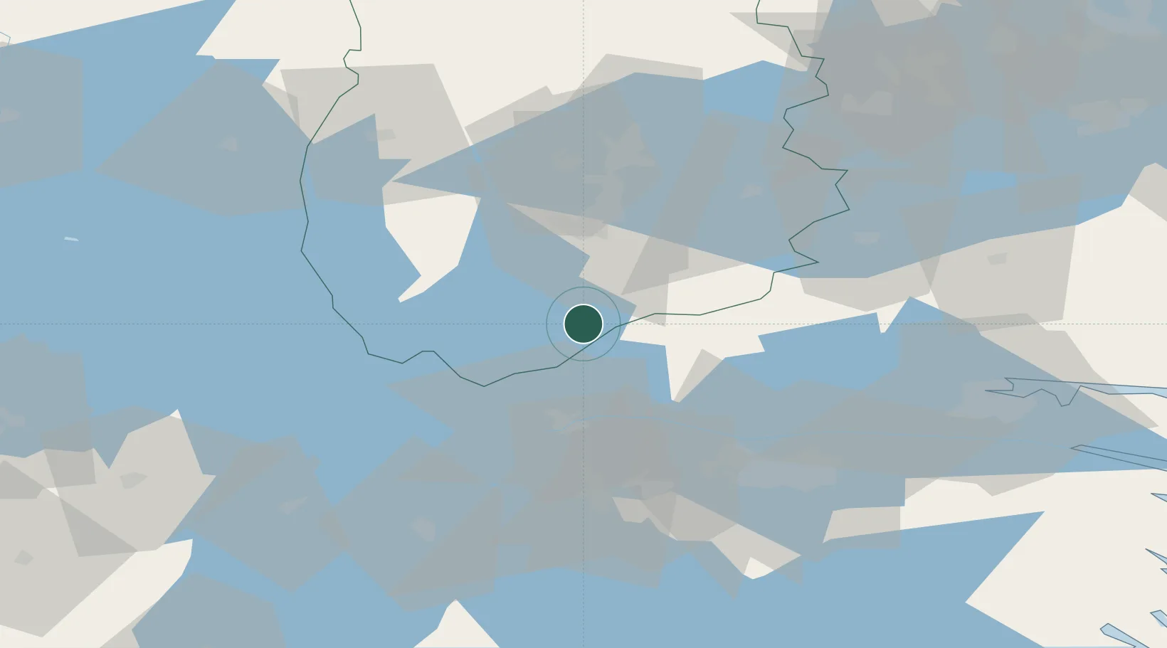
Örebro
Population
316
Time zone
Europe/Stockholm
Elevation
182 m
Location
Nearby Logistics Neighbours
Cities
- 1Hammar8 km
- 2Åsbro21 km
- 3Ljusfallshammar24 km
- 4Pålsboda32 km
- 5Kilsmo37 km
Ports
- 1Norrkoping70 km
- 2Nykoping112 km
- 3Oxelosund119 km
- 4Vasteras122 km
- 5Verkeback147 km
Airports
- 1Örebro Airport45 km
- 2Malmen Air Base53 km
- 3Linköping City Airport58 km
- 4Karlskoga Airport68 km
- 5Norrköping Airport72 km
Trade Zones
DatabookThe Record of Consolidated Knowledge
Sweden beyond logistics?