Transport Functions
Road
Multimodal
Hub Profile
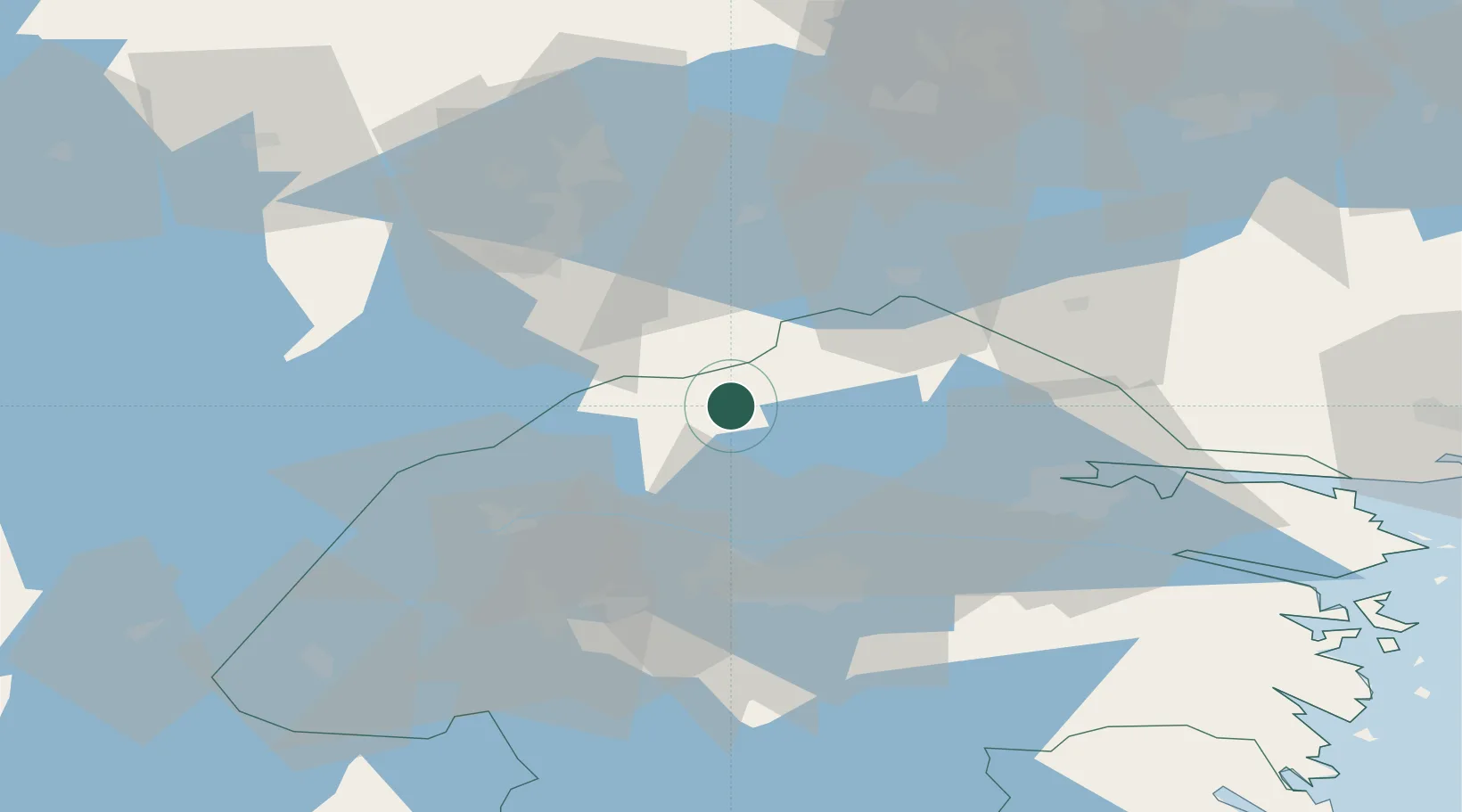
Place type
Populated place
Region
Östergötland
Population
316
Time zone
Europe/Stockholm
Elevation
63 m
Location
Nearby Logistics Neighbours
Cities
- 1Zinkgruvan24 km
- 2Kilsmo32 km
- 3Hammar32 km
- 4Pålsboda33 km
- 5Åsbro35 km
Ports
- 1Norrkoping46 km
- 2Nykoping88 km
- 3Oxelosund94 km
- 4Vasteras110 km
- 5Sodertalje131 km
Airports
- 1Malmen Air Base43 km
- 2Linköping City Airport43 km
- 3Norrköping Airport49 km
- 4Örebro Airport56 km
- 5Stockholm Skavsta Airport81 km
Trade Zones
DatabookThe Record of Consolidated Knowledge
Sweden beyond logistics?