Transport Functions
Rail
Road
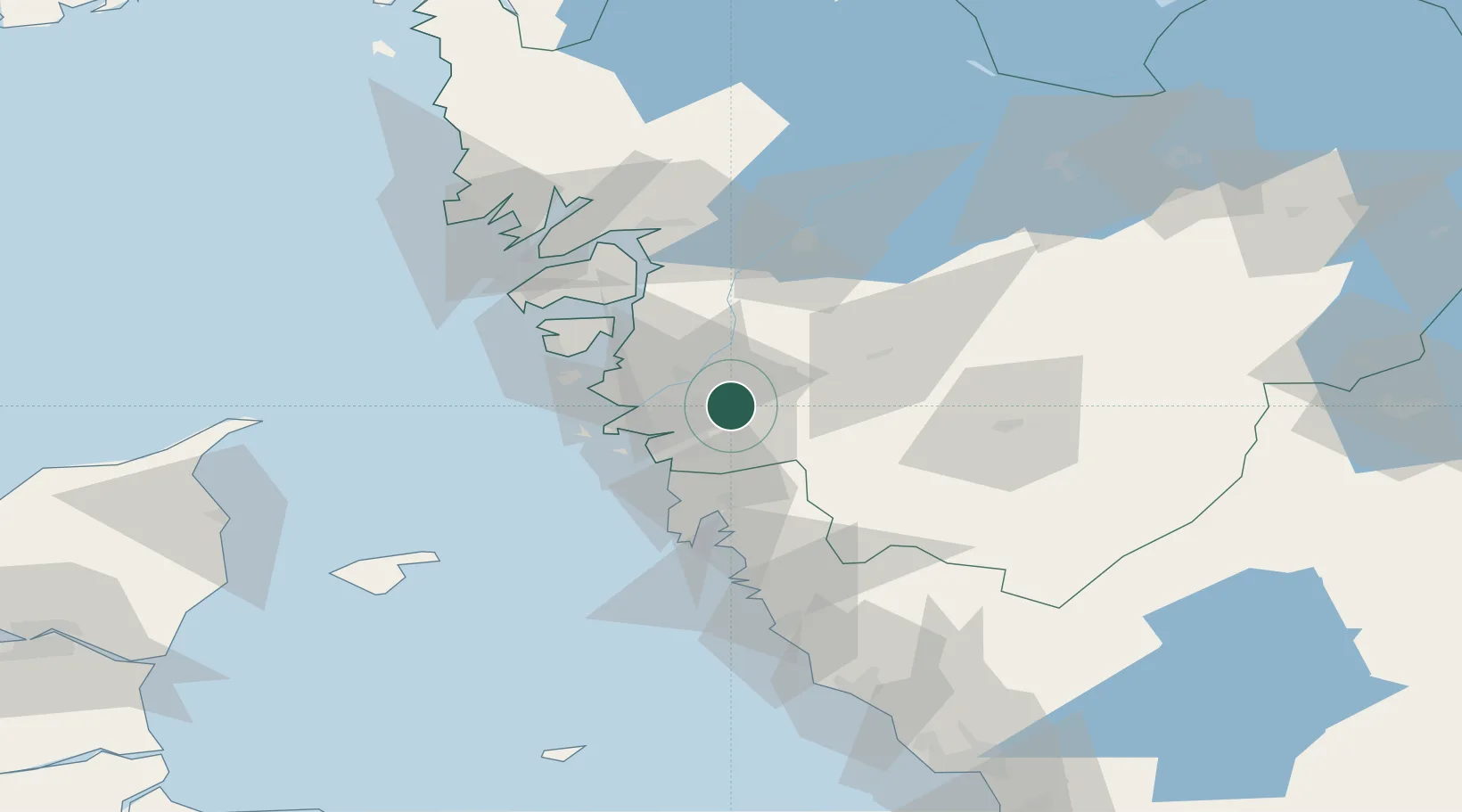
Hub Profile
Place type
Populated place
Region
Västra Götaland
Population
1,062
Time zone
Europe/Stockholm
Elevation
85 m
Location
Nearby Logistics Neighbours
Cities
- 1Surte6 km
- 2Agnesberg7 km
- 3Bohus10 km
- 4Landvetter13 km
- 5Stenkullen13 km
Ports
- 1Goteborg12 km
- 2Marstrand32 km
- 3Stenungsund37 km
- 4Uddevalla63 km
- 5Lysekil67 km
Airports
- 1Säve Airport14 km
- 2Göteborg Landvetter Airport17 km
- 3Trollhättan-Vänersborg Airport61 km
- 4Såtenäs Air Base80 km
- 5Læsø Airport87 km
Trade Zones
DatabookThe Record of Consolidated Knowledge
Sweden beyond logistics?