Transport Functions
Rail
Road
Multimodal
Hub Profile
Region
O
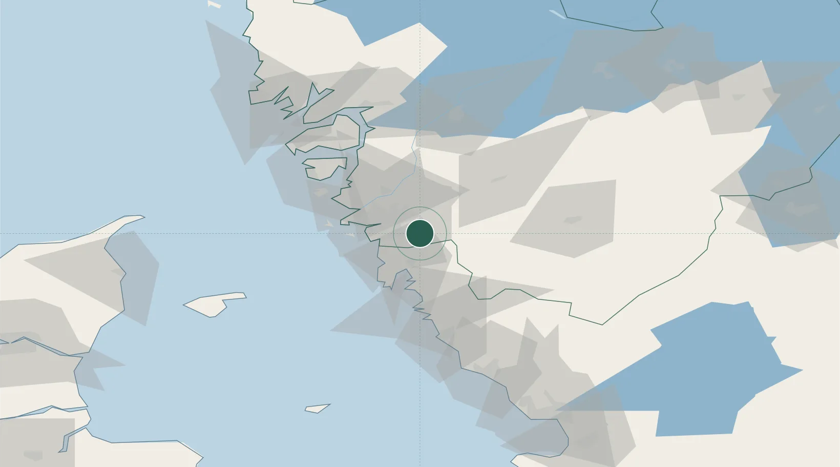
Location
Nearby Logistics Neighbours
Cities
- 1Pixbo/Härryda3 km
- 2Landvetter5 km
- 3Angered15 km
- 4Agnesberg17 km
- 5Kullavik18 km
Ports
- 1Goteborg13 km
- 2Marstrand42 km
- 3Stenungsund52 km
- 4Varberg61 km
- 5Uddevalla78 km
Airports
- 1Göteborg Landvetter Airport9 km
- 2Säve Airport21 km
- 3Trollhättan-Vänersborg Airport75 km
- 4Læsø Airport79 km
- 5Såtenäs Air Base93 km
Trade Zones
DatabookThe Record of Consolidated Knowledge
Sweden beyond logistics?