Transport Functions
Port
Rail
Road
Airport
Hub Profile
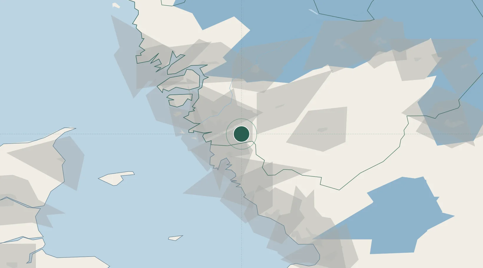
Place type
Populated place
Region
Västra Götaland
Population
8,839
Time zone
Europe/Stockholm
Elevation
63 m
Location
Nearby Logistics Neighbours
Cities
- 1Mölnlycke5 km
- 2Pixbo/Härryda8 km
- 3Angered13 km
- 4Stenkullen13 km
- 5Hindås14 km
Ports
- 1Goteborg15 km
- 2Marstrand43 km
- 3Stenungsund50 km
- 4Varberg64 km
- 5Uddevalla75 km
Airports
- 1Göteborg Landvetter Airport5 km
- 2Säve Airport22 km
- 3Trollhättan-Vänersborg Airport71 km
- 4Læsø Airport85 km
- 5Såtenäs Air Base88 km
Trade Zones
DatabookThe Record of Consolidated Knowledge
Sweden beyond logistics?