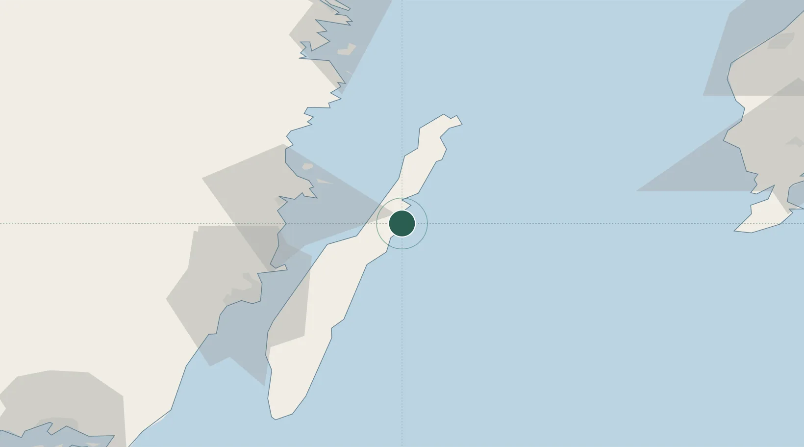
UN/LOCODE hub · Sweden
SEKRH

Kårehamn

56.9500°, 16.9000°
1
Transport functions

Transport Functions

Port
UN/LOCODE

Hub Profile

Place type
Populated place
GeoNames
Region
Kalmar
GeoNames
Time zone
Europe/Stockholm
GeoNames
Elevation
2 m
GeoNames

Location

Location of SEKRH
Natural Earth 10m (public domain) · Kalmar · SEKRH · 56.95, 16.90GoogleOSMYandex

Nearby Logistics Neighbours

Cities
  1. 1Pataholm30 km
  2. 2Mönsterås30 km
  3. 3Färjestaden43 km
  4. 4Grankullavik44 km
  5. 5Oskarshamn45 km
Nearest neighbours — logibook spatial index (haversine) over the source coordinates
Ports
  1. 1Stora Jatterson26 km
  2. 2Oskarshamn45 km
  3. 3Kalmar45 km
  4. 4Figeholm52 km
  5. 5Degerhamn73 km
Nearest neighbours — logibook spatial index (haversine) over the source coordinates
Airports
  1. 1Kalmar Airport48 km
  2. 2Visby Airport118 km
  3. 3Ronneby Airport126 km
  4. 4Växjö Kronoberg Airport132 km
  5. 5Linköping City Airport177 km
Nearest neighbours — logibook spatial index (haversine) over the source coordinates
Trade Zones
  1. 1Jönköping Free Zone191 km
  2. 2Liepāja SEZ262 km
  3. 3Stockholm Free Zone276 km
  4. 4Słupsk SEZ (Słupska SSE)277 km
  5. 5MTS Malmö Transport and Spedition278 km
Nearest neighbours — logibook spatial index (haversine) over the source coordinates
DatabookThe Record of Consolidated Knowledge
Sweden beyond logistics?
Browse databook

All Sources

LocationsUN/LOCODE
UN/LOCODE — free
Portsthe NGA World Port Index
Public domain (US gov)
AirportsOurAirports
Public domain
Trade Zonesthe World Bank SEZ database
CC BY 4.0
Trade ZonesOpen Zone Map
CC BY
← Sweden locations