UN/LOCODE hub · Sweden
SEKUA

Kungsbacka

57.4833°, 12.0833°
18,698
Population
2
Transport functions

Transport Functions

Port
Road
UN/LOCODE

Hub Profile

Place type
Provincial seat
GeoNames
Region
Halland
GeoNames
Population
18,698
GeoNames
Time zone
Europe/Stockholm
GeoNames
Elevation
6 m
GeoNames

Location

Location of SEKUA
Natural Earth 10m (public domain) · Halland · SEKUA · 57.48, 12.08GoogleOSMYandex

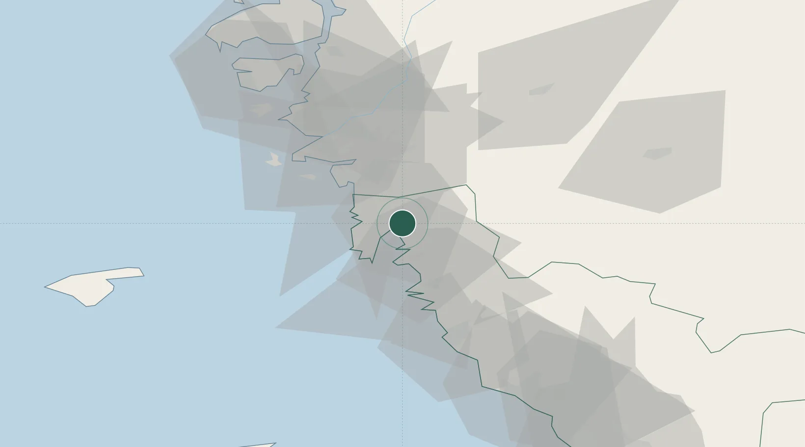
Nearby Logistics Neighbours

Cities
  1. 1Heberg5 km
  2. 2Onsala8 km
  3. 3Kullavik11 km
  4. 4Pixbo/Härryda19 km
  5. 5Mölnlycke19 km
Nearest neighbours — logibook spatial index (haversine) over the source coordinates
Ports
  1. 1Goteborg26 km
  2. 2Varberg43 km
  3. 3Marstrand53 km
  4. 4Stenungsund68 km
  5. 5Falkenberg71 km
Nearest neighbours — logibook spatial index (haversine) over the source coordinates
Airports
  1. 1Göteborg Landvetter Airport23 km
  2. 2Säve Airport35 km
  3. 3Læsø Airport69 km
  4. 4Anholt Airfield93 km
  5. 5Trollhättan-Vänersborg Airport94 km
Nearest neighbours — logibook spatial index (haversine) over the source coordinates
Trade Zones
  1. 1Gothenburg Boundless Customs Warehouse30 km
  2. 2Jönköping Free Zone124 km
  3. 3Freeport of Copenhagen- Nordhavn199 km
  4. 4MTS Malmö Transport and Spedition218 km
  5. 5Freeport of Kiel370 km
Nearest neighbours — logibook spatial index (haversine) over the source coordinates
DatabookThe Record of Consolidated Knowledge
Sweden beyond logistics?
Browse databook

All Sources

LocationsUN/LOCODE
UN/LOCODE — free
LocationsGeoNames
CC BY 4.0
Portsthe NGA World Port Index
Public domain (US gov)
AirportsOurAirports
Public domain
Trade Zonesthe World Bank SEZ database
CC BY 4.0
Trade ZonesOpen Zone Map
CC BY
← Sweden locations