Transport Functions
Port
Hub Profile
Place type
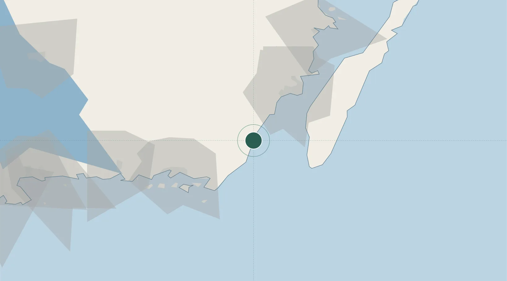
Populated place
Region
Kalmar
Population
1,021
Time zone
Europe/Stockholm
Elevation
5 m
Location
Nearby Logistics Neighbours
Cities
- 1Broby17 km
- 2Mörbylånga24 km
- 3Trekanten35 km
- 4Kalmar36 km
- 5Färjestaden37 km
Ports
- 1Degerhamn21 km
- 2Kalmar36 km
- 3Karlskrona38 km
- 4Ronneby54 km
- 5Karlshamn79 km
Airports
- 1Kalmar Airport36 km
- 2Ronneby Airport52 km
- 3Växjö Kronoberg Airport103 km
- 4Kristianstad Airport134 km
- 5Bornholm Airport169 km
Trade Zones
- 1Jönköping Free Zone195 km
- 2MTS Malmö Transport and Spedition205 km
- 3Słupsk SEZ (Słupska SSE)222 km
- 4Freeport of Copenhagen- Nordhavn229 km
- 5Pomeranian SEZ (Pomorska SSE)267 km
DatabookThe Record of Consolidated Knowledge
Sweden beyond logistics?