Transport Functions
Rail
Road
Multimodal
Hub Profile
Place type
Populated place
Region
Blekinge
Time zone
Europe/Stockholm
Elevation
34 m
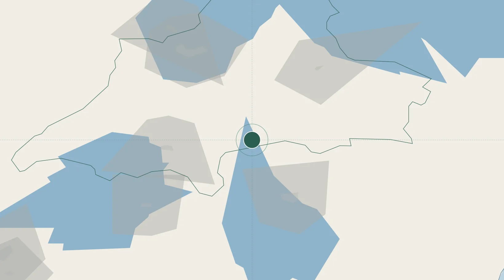
Location
Nearby Logistics Neighbours
Cities
- 1Moheda26 km
- 2Rottne31 km
- 3Klavreström36 km
- 4Lagan50 km
- 5Jönköping55 km
Ports
- 1Oskarshamn113 km
- 2Figeholm117 km
- 3Halmstad121 km
- 4Stora Jatterson122 km
- 5Karlshamn122 km
Airports
- 1Växjö Kronoberg Airport35 km
- 2Jönköping Airport65 km
- 3Ronneby Airport116 km
- 4Kalmar Airport121 km
- 5Halmstad Airport122 km
Trade Zones
DatabookThe Record of Consolidated Knowledge
Sweden beyond logistics?