Transport Functions
Road
Multimodal
Hub Profile
Place type
Populated place
Region
Dalarna
Time zone
Europe/Stockholm
Elevation
233 m
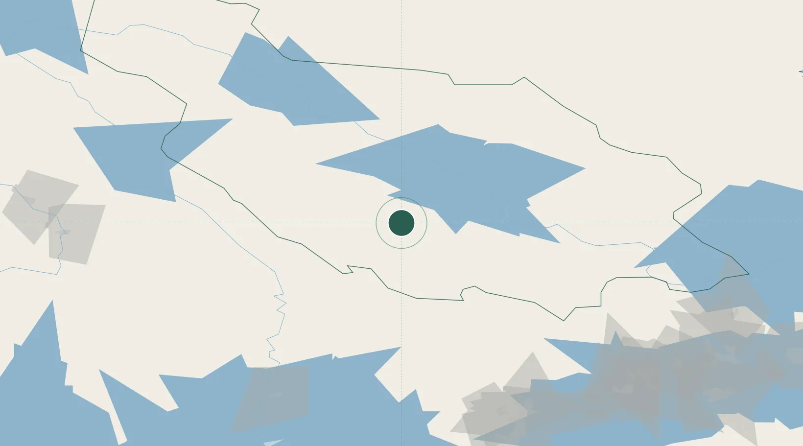
Location
Nearby Logistics Neighbours
Cities
- 1Södra Vika44 km
- 2Kvarnsveden59 km
- 3Grängesberg63 km
- 4Lesjöfors66 km
- 5Transtrand82 km
Ports
- 1Gavle154 km
- 2Norrsundet159 km
- 3Karskar160 km
- 4Vasteras160 km
- 5Skutskar167 km
Airports
- 1Mora Airport46 km
- 2Dala Airport65 km
- 3Hagfors Airport73 km
- 4Torsby Airport87 km
- 5Scandinavian Mountains Airport107 km
Trade Zones
- 1Stockholm Free Zone248 km
- 2Jönköping Free Zone310 km
- 3Gothenburg Boundless Customs Warehouse348 km
- 4Turku Free Zone431 km
- 5Freeport of Hanko478 km
DatabookThe Record of Consolidated Knowledge
Sweden beyond logistics?