Transport Functions
Rail
Road
Hub Profile
Place type
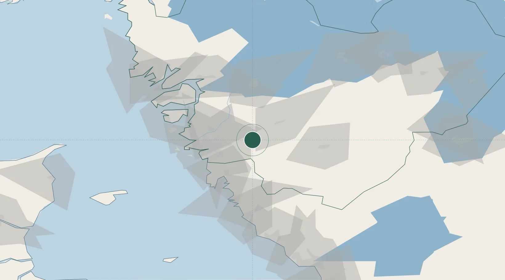
Populated place
Region
Västra Götaland
Population
2,000
Time zone
Europe/Stockholm
Elevation
54 m
Location
Nearby Logistics Neighbours
Cities
- 1Floda4 km
- 2Hindås12 km
- 3Angered13 km
- 4Landvetter13 km
- 5Surte18 km
Ports
- 1Goteborg23 km
- 2Marstrand45 km
- 3Stenungsund45 km
- 4Uddevalla67 km
- 5Lysekil75 km
Airports
- 1Göteborg Landvetter Airport14 km
- 2Säve Airport27 km
- 3Trollhättan-Vänersborg Airport60 km
- 4Såtenäs Air Base75 km
- 5Råda Air Base91 km
Trade Zones
DatabookThe Record of Consolidated Knowledge
Sweden beyond logistics?