Transport Functions
Rail
Road
Hub Profile
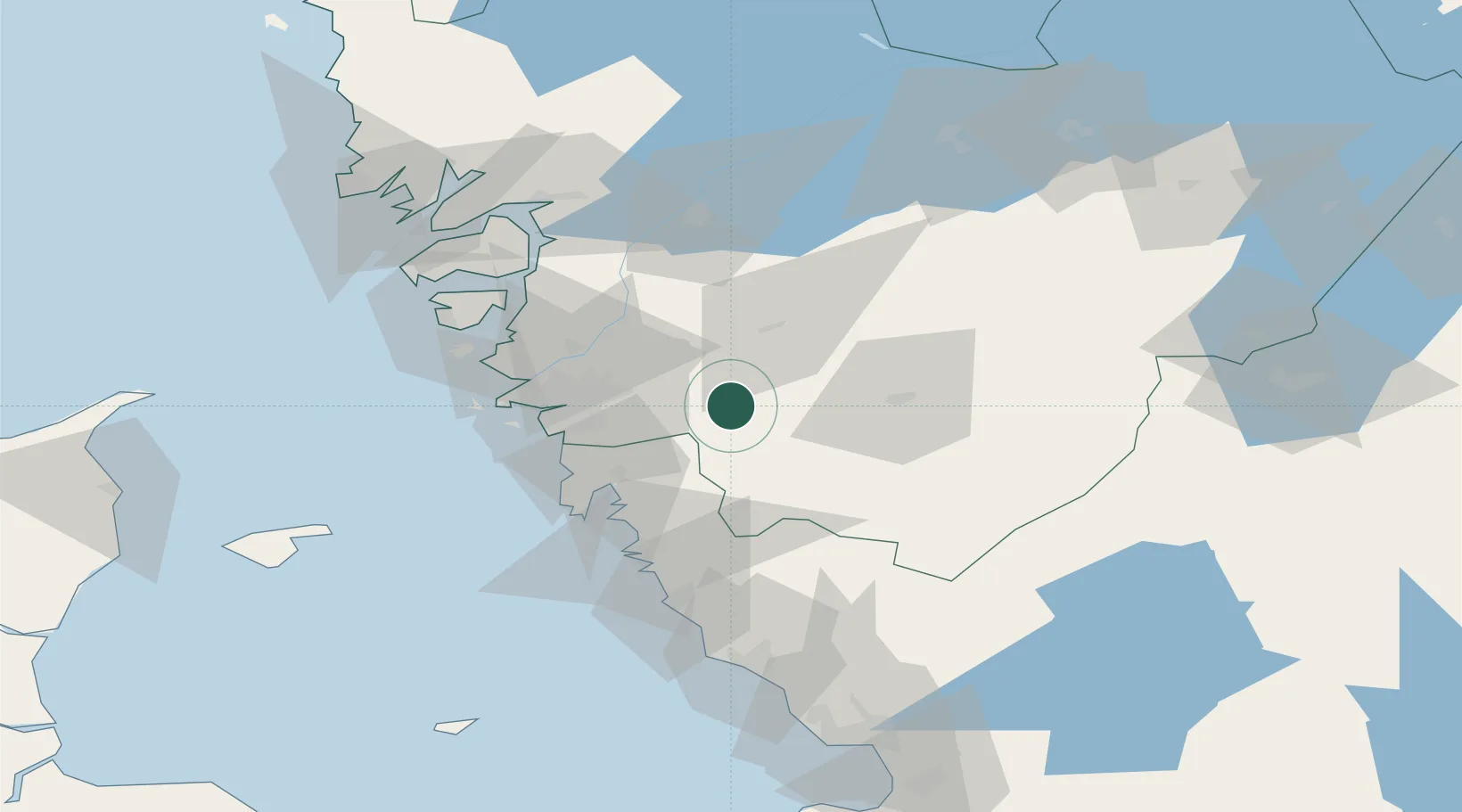
Place type
Populated place
Region
Västra Götaland
Population
2,901
Time zone
Europe/Stockholm
Elevation
140 m
Location
Nearby Logistics Neighbours
Cities
- 1Stenkullen12 km
- 2Floda12 km
- 3Landvetter14 km
- 4Hyssna16 km
- 5Sätila19 km
Ports
- 1Goteborg29 km
- 2Marstrand54 km
- 3Stenungsund56 km
- 4Varberg67 km
- 5Uddevalla78 km
Airports
- 1Göteborg Landvetter Airport10 km
- 2Säve Airport34 km
- 3Trollhättan-Vänersborg Airport69 km
- 4Såtenäs Air Base82 km
- 5Råda Air Base96 km
Trade Zones
DatabookThe Record of Consolidated Knowledge
Sweden beyond logistics?