Transport Functions
Rail
Road
Hub Profile
Place type
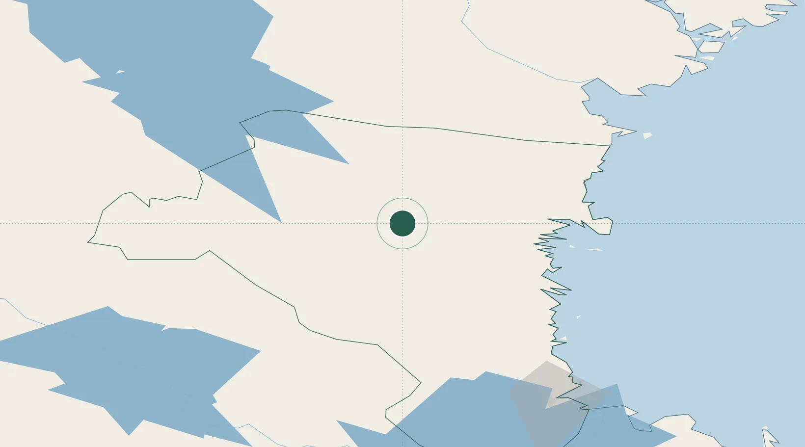
Populated place
Region
Gävleborg
Time zone
Europe/Stockholm
Elevation
99 m
Location
Nearby Logistics Neighbours
Cities
- 1Bjuraker23 km
- 2Alfta41 km
- 3Iggesund41 km
- 4Hudiksvall42 km
- 5Stocka58 km
Ports
- 1Iggesund42 km
- 2Hudiksvall43 km
- 3Stocka60 km
- 4Soderhamn61 km
- 5Sandarne67 km
Airports
- 1Söderhamn Airport65 km
- 2Sveg Airport106 km
- 3Sundsvall-Härnösand Airport110 km
- 4Mora Airport126 km
- 5Gävle Sandviken Airport128 km
Trade Zones
- 1Stockholm Free Zone280 km
- 2Turku Free Zone347 km
- 3Freeport of Hanko413 km
- 4Jönköping Free Zone454 km
- 5Gothenburg Boundless Customs Warehouse510 km
DatabookThe Record of Consolidated Knowledge
Sweden beyond logistics?