Transport Functions
Multimodal
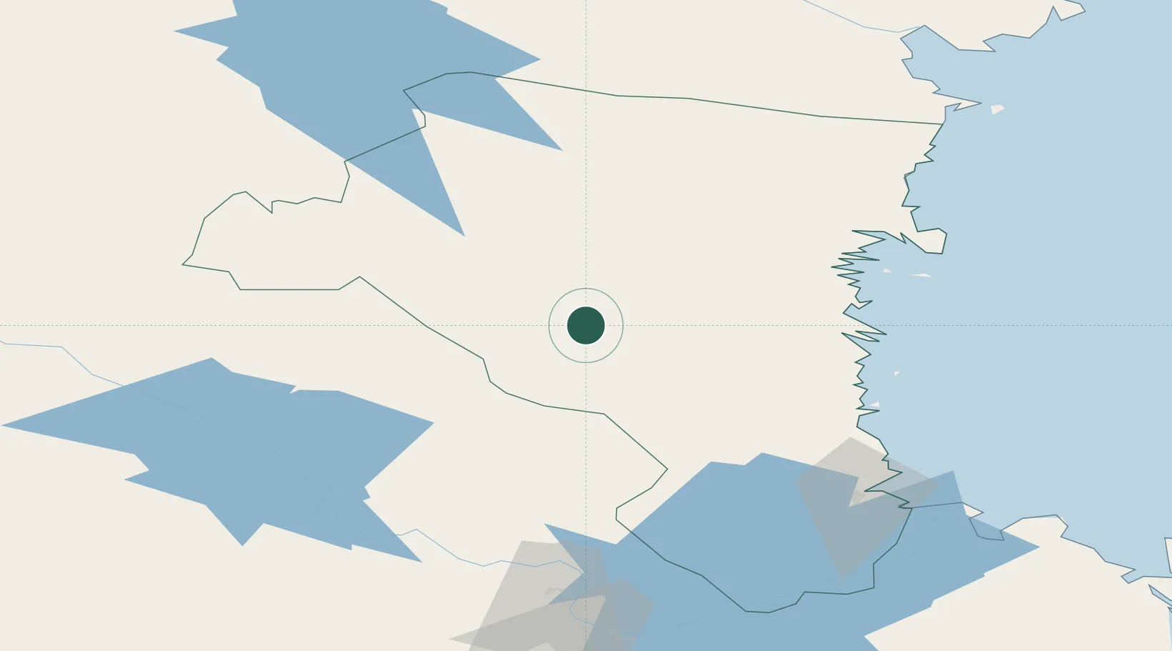
Hub Profile
Place type
Populated place
Region
Gävleborg
Population
2,348
Time zone
Europe/Stockholm
Elevation
94 m
Location
Nearby Logistics Neighbours
Ports
- 1Soderhamn54 km
- 2Sandarne59 km
- 3Vallvik61 km
- 4Iggesund63 km
- 5Hudiksvall69 km
Airports
- 1Söderhamn Airport55 km
- 2Mora Airport95 km
- 3Gävle Sandviken Airport96 km
- 4Dala Airport108 km
- 5Sveg Airport117 km
Trade Zones
- 1Stockholm Free Zone249 km
- 2Turku Free Zone346 km
- 3Freeport of Hanko408 km
- 4Jönköping Free Zone414 km
- 5Gothenburg Boundless Customs Warehouse471 km
DatabookThe Record of Consolidated Knowledge
Sweden beyond logistics?