Transport Functions
Rail
Road
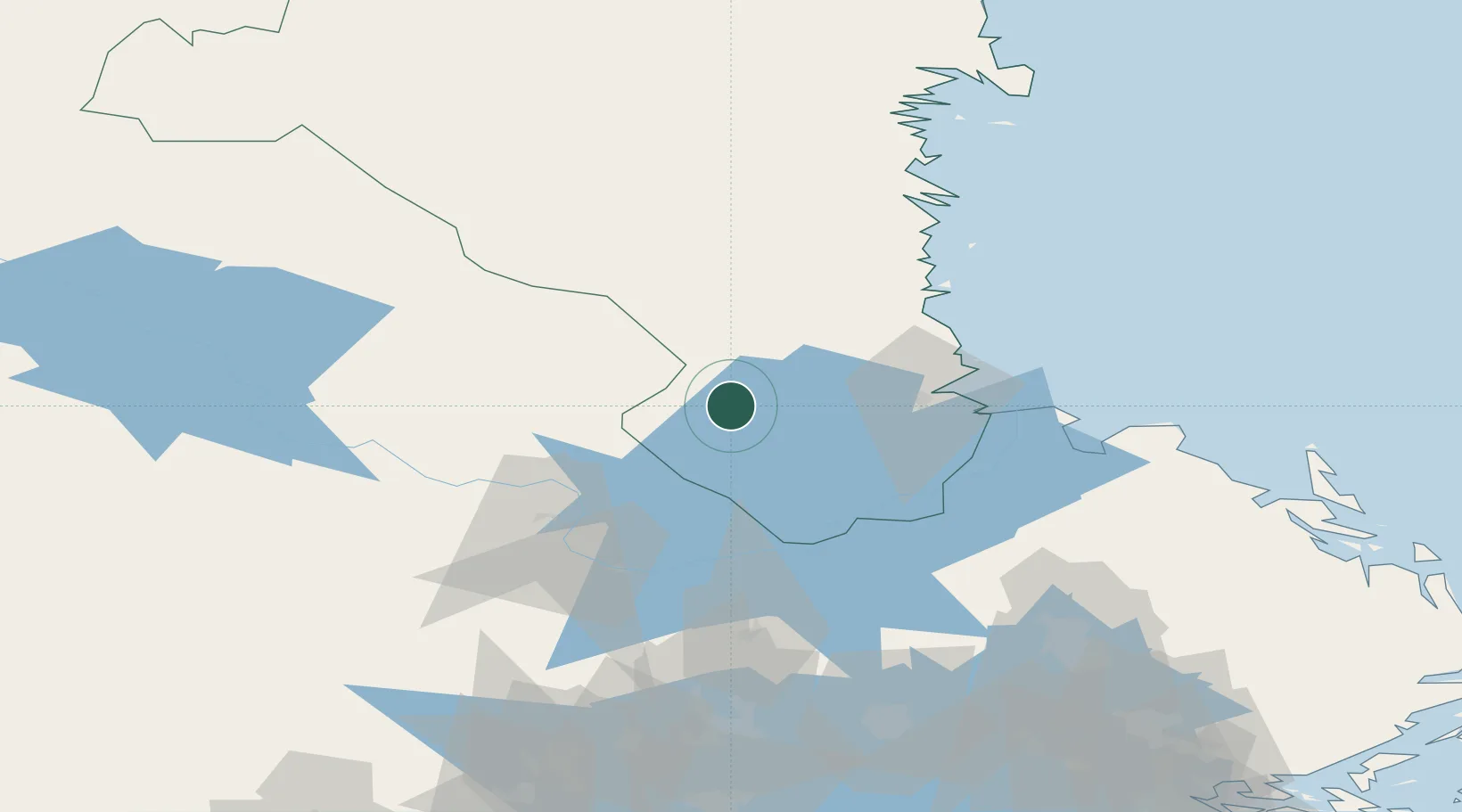
Hub Profile
Place type
Populated place
Region
Gävleborg
Population
535
Time zone
Europe/Stockholm
Elevation
89 m
Location
Nearby Logistics Neighbours
Cities
- 1Gävle37 km
- 2Karskär39 km
- 3Norrsundet46 km
- 4Skutskär47 km
- 5Älvkarleby50 km
Ports
- 1Gavle34 km
- 2Karskar39 km
- 3Norrsundet46 km
- 4Skutskar46 km
- 5Vallvik68 km
Airports
- 1Gävle Sandviken Airport23 km
- 2Dala Airport62 km
- 3Söderhamn Airport74 km
- 4Mora Airport116 km
- 5Stockholm Västerås Airport118 km
Trade Zones
- 1Stockholm Free Zone169 km
- 2Turku Free Zone310 km
- 3Jönköping Free Zone350 km
- 4Freeport of Hanko361 km
- 5Gothenburg Boundless Customs Warehouse424 km
DatabookThe Record of Consolidated Knowledge
Sweden beyond logistics?