Transport Functions
Multimodal
Hub Profile
Place type
Populated place
Region
Leningradskaya Oblast'
Time zone
Europe/Moscow
Elevation
132 m
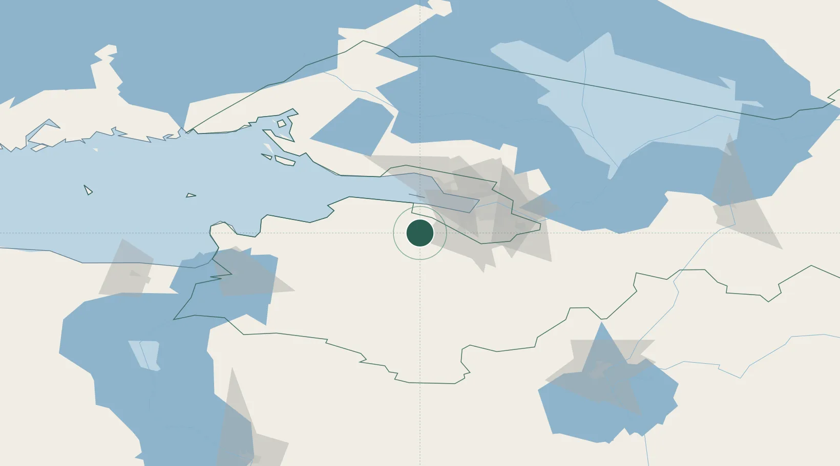
Location
Nearby Logistics Neighbours
Cities
- 1Bronka Port25 km
- 2Malyye Kolpani26 km
- 3Gatchina26 km
- 4Lomonosov26 km
- 5Kronshtadt33 km
Ports
- 1Lomonosov24 km
- 2Kronshtadt32 km
- 3Ust Luga81 km
- 4Primorsk97 km
- 5Sillamae117 km
Airports
- 1Pulkovo Airport31 km
- 2Pushkin Airport33 km
- 3Levashovo Air Base50 km
- 4Pribylovo Naval Air Base101 km
- 5Smuravyovo Air Base139 km
Trade Zones
DatabookThe Record of Consolidated Knowledge
Russia beyond logistics?