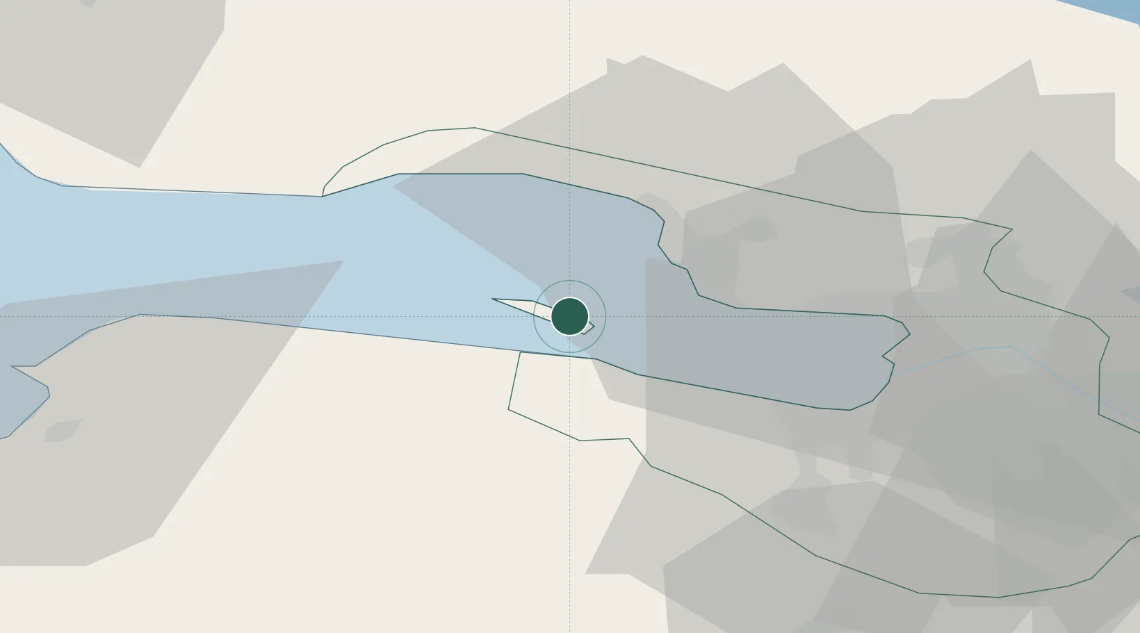
UN/LOCODE hub · Russia
RUKDT

Kronshtadt

60.0000°, 29.7667°
1
Transport functions

Transport Functions

Port
Kronshtadt is also a profiled seaport →
UN/LOCODE

Location

Location of RUKDT
Natural Earth 10m (public domain) · City of St. Petersburg · RUKDT · 60.00, 29.77GoogleOSMYandex

Nearby Logistics Neighbours

Cities
  1. 1Kronstadt0 km
  2. 2Lomonosov9 km
  3. 3Bronka Port11 km
  4. 4Gorskaya12 km
  5. 5Sestroretsk15 km
Nearest neighbours — logibook spatial index (haversine) over the source coordinates
Ports
  1. 1Lomonosov9 km
  2. 2Primorsk75 km
  3. 3Ust Luga89 km
  4. 4Gavan Vysotsk95 km
  5. 5Vyborg97 km
Nearest neighbours — logibook spatial index (haversine) over the source coordinates
Airports
  1. 1Levashovo Air Base26 km
  2. 2Pulkovo Airport36 km
  3. 3Pushkin Airport47 km
  4. 4Pribylovo Naval Air Base76 km
  5. 5Lappeenranta Airport146 km
Nearest neighbours — logibook spatial index (haversine) over the source coordinates
Trade Zones
  1. 1St Petersburg Technology Innovative Special Economic Zone22 km
  2. 2Port of Sillamäe132 km
  3. 3Free Zone of Lappeenranta147 km
  4. 4Port of Hamina-Kotka165 km
  5. 5Moglino Special Economic Zone - Industrial266 km
Nearest neighbours — logibook spatial index (haversine) over the source coordinates
DatabookThe Record of Consolidated Knowledge
Russia beyond logistics?
Browse databook

All Sources

LocationsUN/LOCODE
UN/LOCODE — free
Portsthe NGA World Port Index
Public domain (US gov)
AirportsOurAirports
Public domain
Trade Zonesthe World Bank SEZ database
CC BY 4.0
Trade ZonesOpen Zone Map
CC BY
← Russia locations