Medium airport · Russia
Pushkin AirportULLP
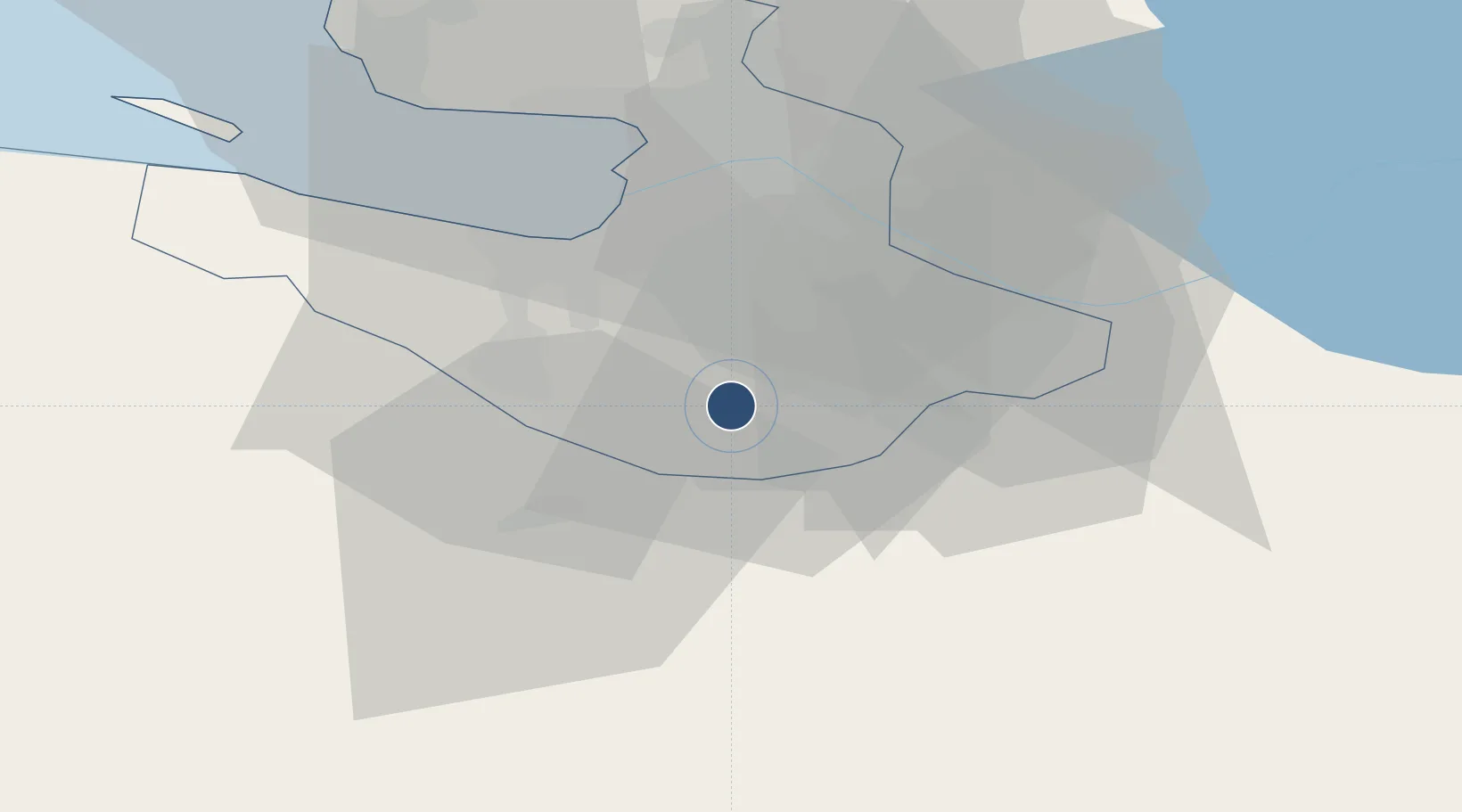
59.6850°, 30.3383°
8,202 ft
Longest runway
1
Runways
230 ft
Elevation
Runway & Layout

Runways · 1
| Runway | Dimensions | Surface | True heading | Lit |
|---|---|---|---|---|
| 03/21 | 8,202 × 144ft | Concrete | 030° | — |
Airport Specifications
ICAO code
ULLP
Airport class
Medium airport
Scheduled service
No
Runway surface
Concrete
Served city
St. Petersburg
Location
Nearby Logistics Neighbours
Airports
- 1Pulkovo Airport14 km
- 2Levashovo Air Base45 km
- 3Pribylovo Naval Air Base123 km
- 4Krechevitsy Air Base132 km
- 5Smuravyovo Air Base164 km
Cities
- 1Pushkin6 km
- 2Shushary12 km
- 3Kolpino16 km
- 4Saint Petersburg (ex Leningrad)20 km
- 5Gatchina20 km
Ports
- 1Lomonosov41 km
- 2Kronshtadt45 km
- 3Ust Luga114 km
- 4Primorsk121 km
- 5Gavan Vysotsk143 km
Trade Zones
DatabookThe Record of Consolidated Knowledge
Russia beyond logistics?