UN/LOCODE hub · Russia
RUGAT

Gatchina

59.5500°, 30.1000°
89,761
Population
2
Transport functions

Transport Functions

Rail
Road
UN/LOCODE

Hub Profile

Place type
Provincial seat
GeoNames
Region
Leningradskaya Oblast'
GeoNames
Population
89,761
GeoNames
Time zone
Europe/Moscow
GeoNames
Elevation
92 m
GeoNames

Location

Location of RUGAT
Natural Earth 10m (public domain) · Leningradskaya Oblast' · RUGAT · 59.55, 30.10GoogleOSMYandex

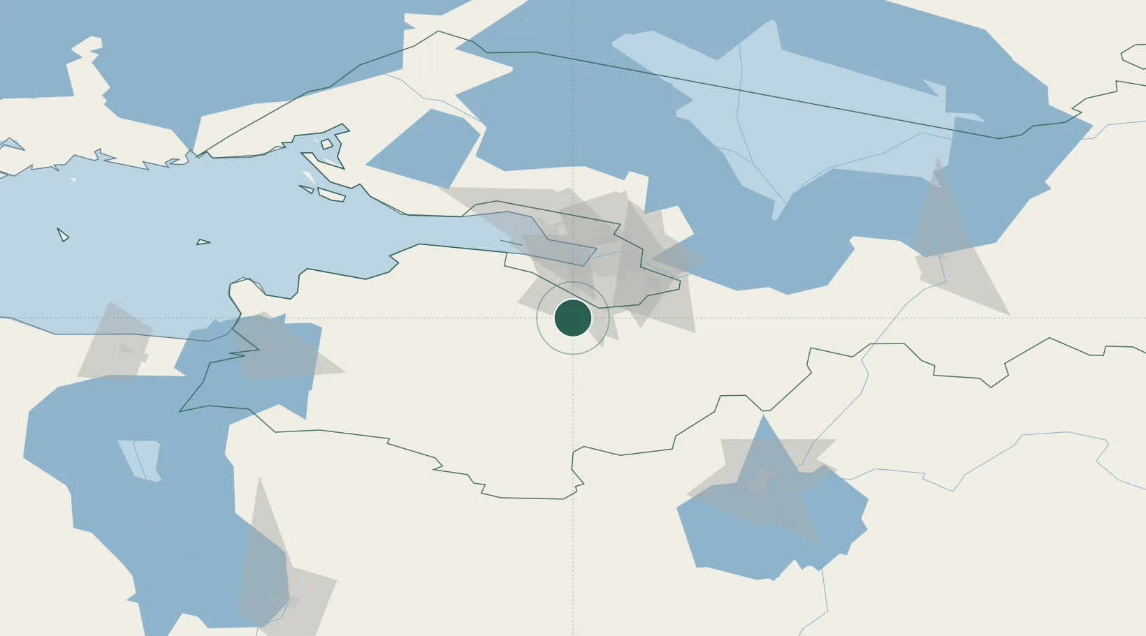
Nearby Logistics Neighbours

Cities
  1. 1Malyye Kolpani3 km
  2. 2Pushkin26 km
  3. 3Volosovo26 km
  4. 4Shushary32 km
  5. 5Kolpino36 km
Nearest neighbours — logibook spatial index (haversine) over the source coordinates
Ports
  1. 1Lomonosov45 km
  2. 2Kronshtadt51 km
  3. 3Ust Luga101 km
  4. 4Primorsk122 km
  5. 5Sillamae134 km
Nearest neighbours — logibook spatial index (haversine) over the source coordinates
Airports
  1. 1Pushkin Airport20 km
  2. 2Pulkovo Airport29 km
  3. 3Levashovo Air Base60 km
  4. 4Pribylovo Naval Air Base126 km
  5. 5Krechevitsy Air Base126 km
Nearest neighbours — logibook spatial index (haversine) over the source coordinates
Trade Zones
  1. 1St Petersburg Technology Innovative Special Economic Zone33 km
  2. 2Port of Sillamäe135 km
  3. 3Free Zone of Lappeenranta199 km
  4. 4Port of Hamina-Kotka203 km
  5. 5Moglino Special Economic Zone - Industrial229 km
Nearest neighbours — logibook spatial index (haversine) over the source coordinates
DatabookThe Record of Consolidated Knowledge
Russia beyond logistics?
Browse databook

All Sources

LocationsUN/LOCODE
UN/LOCODE — free
LocationsGeoNames
CC BY 4.0
Portsthe NGA World Port Index
Public domain (US gov)
AirportsOurAirports
Public domain
Trade Zonesthe World Bank SEZ database
CC BY 4.0
Trade ZonesOpen Zone Map
CC BY
← Russia locations