Transport Functions
Port
Rail
Road
Hub Profile
Region
SPE
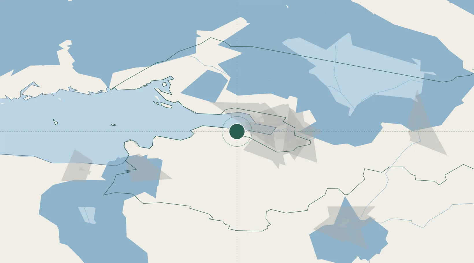
Location
Nearby Logistics Neighbours
Cities
- 1Lomonosov2 km
- 2Kronshtadt11 km
- 3Kronstadt11 km
- 4Gorskaya22 km
- 5Volosovo25 km
Ports
- 1Lomonosov6 km
- 2Kronshtadt10 km
- 3Primorsk76 km
- 4Ust Luga81 km
- 5Gavan Vysotsk99 km
Airports
- 1Levashovo Air Base35 km
- 2Pulkovo Airport36 km
- 3Pushkin Airport46 km
- 4Pribylovo Naval Air Base79 km
- 5Lappeenranta Airport151 km
Trade Zones
DatabookThe Record of Consolidated Knowledge
Russia beyond logistics?