UN/LOCODE hub · Russia
RUBGV

Bagaevskaya

47.3167°, 40.3833°
2
Transport functions

Transport Functions

Port
Road
UN/LOCODE

Hub Profile

Region
ROS
GeoNames

Location

Location of RUBGV
Natural Earth 10m (public domain) · ROS · RUBGV · 47.32, 40.38GoogleOSMYandex

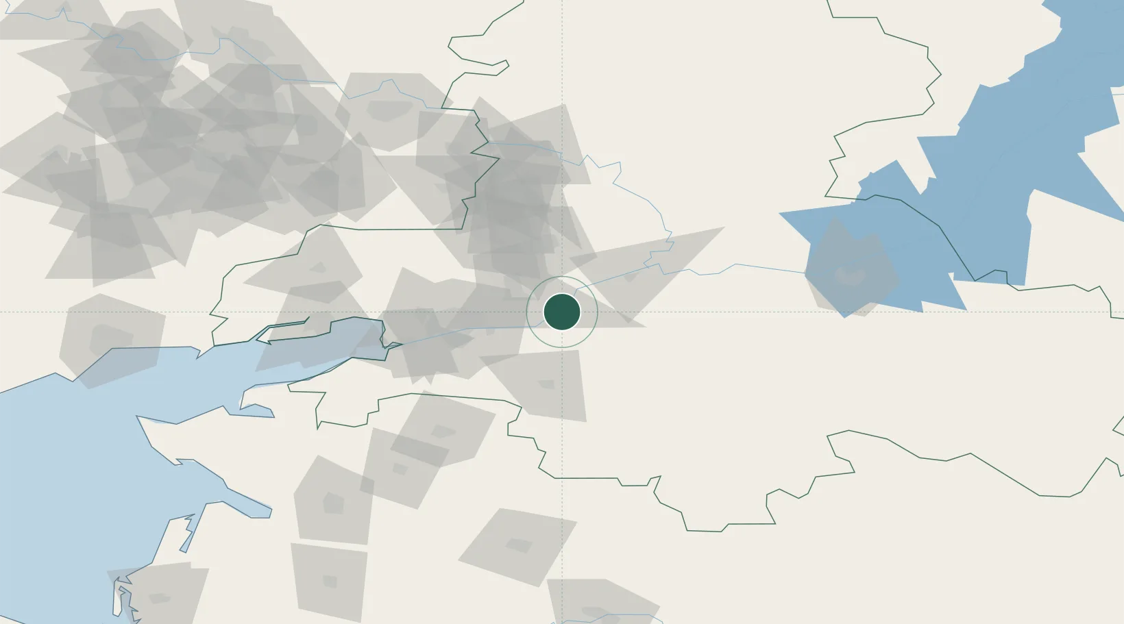
Nearby Logistics Neighbours

Cities
  1. 1Bessergenevskaya11 km
  2. 2Aksay38 km
  3. 3Rostov-na-Donu51 km
  4. 4Kagal'Nitskaya53 km
  5. 5Novoshakhtinsk59 km
Nearest neighbours — logibook spatial index (haversine) over the source coordinates
Ports
  1. 1Rostov-Na-Donu53 km
  2. 2Azov76 km
  3. 3Taganrog109 km
  4. 4Yeysk173 km
  5. 5Mariupol214 km
Nearest neighbours — logibook spatial index (haversine) over the source coordinates
Airports
  1. 1Platov International Airport40 km
  2. 2Rostov-on-Don Central Air Base57 km
  3. 3Taganrog Yuzhny Airport117 km
  4. 4Taganrog Tsentralny Air Base117 km
  5. 5Yeysk Airport179 km
Nearest neighbours — logibook spatial index (haversine) over the source coordinates
Trade Zones
  1. 1Azov Economic Zone213 km
  2. 2Special Economic Zone Donetsk220 km
  3. 3North Caucasus Resort Cluster419 km
  4. 4Kulevi Free Industrial Zone570 km
  5. 5Lotus Special Economic Zone571 km
Nearest neighbours — logibook spatial index (haversine) over the source coordinates
DatabookThe Record of Consolidated Knowledge
Russia beyond logistics?
Browse databook

All Sources

LocationsUN/LOCODE
UN/LOCODE — free
Portsthe NGA World Port Index
Public domain (US gov)
AirportsOurAirports
Public domain
Trade Zonesthe World Bank SEZ database
CC BY 4.0
Trade ZonesOpen Zone Map
CC BY
← Russia locations