Transport Functions
Rail
Airport
Hub Profile
Place type
Regional capital
Region
Omsk Oblast
Population
1,172,070
Time zone
Asia/Omsk
Elevation
90 m
Logistics facilities
3
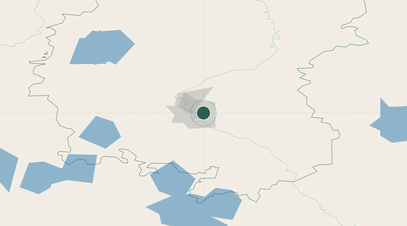
Location
Nearby Logistics Neighbours
Ports
- 1Igarka1546 km
- 2Dudinka1724 km
- 3Port Dikson2083 km
- 4Bandar-E Mahshahr3337 km
- 5Bandar Khomeyni3344 km
Airports
Trade Zones
DatabookThe Record of Consolidated Knowledge
Russia beyond logistics?