Large airport · Kazakhstan

Pavlodar International AirportUASP
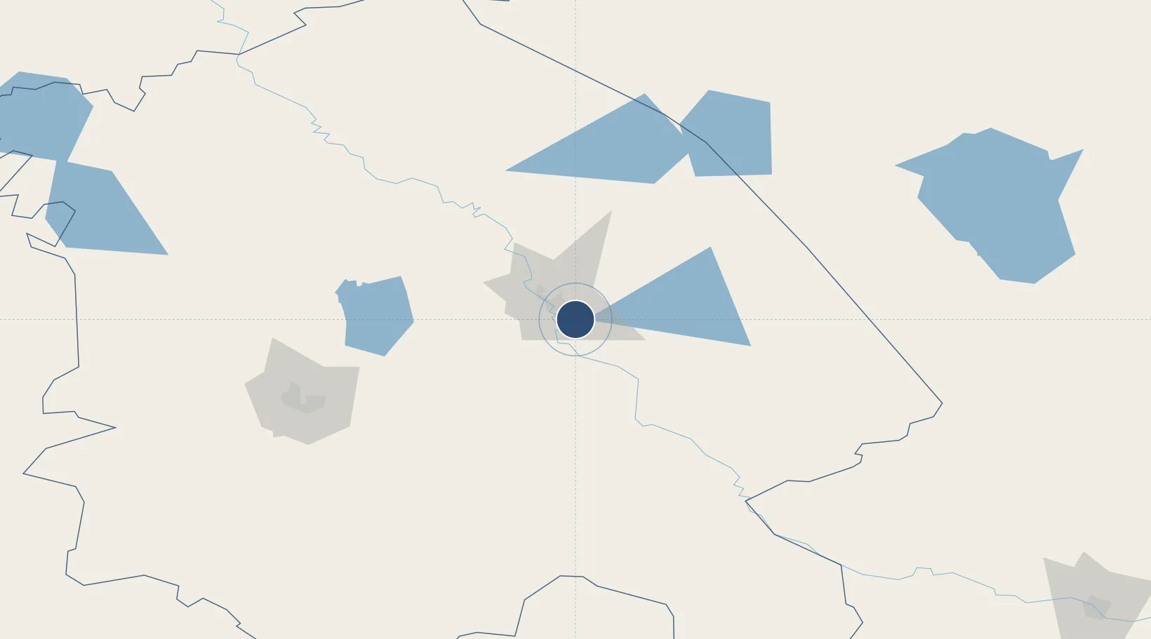
52.1950°, 77.0731°
8,202 ft
Longest runway
1
Runways
410 ft
Elevation

Runway & Layout

Pavlodar International Airport runway & taxiway layout
Runway & taxiway layout — OpenStreetMap (ODbL) / OurAirports

Radio Frequencies

TWR
119.8 MHz
OurAirports

Navaids

PW NDB Pavlodar 440 kHz
WL NDB Pavlodar 440 kHz
OurAirports

Runways · 1

RunwayDimensions SurfaceTrue headingLit
03/21 8,202 × 148ft Concrete 043°
OurAirports

Airport Specifications

IATA code
PWQ
OurAirports
ICAO code
UASP
OurAirports
Airport class
Large airport
OurAirports
Scheduled service
Yes
OurAirports
Runway surface
Concrete
OurAirports
Served city
Pavlodar
OurAirports

Location

Location of UASP
Natural Earth 10m (public domain) · Pavlodar · UASP · 52.19, 77.07GoogleOSMYandex

Nearby Logistics Neighbours

Airports
  1. 1Ekibastuz Airport144 km
  2. 2Kurchatov Airfield191 km
  3. 3Dolon Air Base236 km
  4. 4Semei International Airport301 km
  5. 5Sary-Arka Airport384 km
Nearest neighbours — logibook spatial index (haversine) over the source coordinates
Cities
  1. 1Dernbach281 km
  2. 2Waigandshain312 km
  3. 3Bielstein313 km
  4. 4Temirtau373 km
  5. 5Karaganda385 km
Nearest neighbours — logibook spatial index (haversine) over the source coordinates
Ports
  1. 1Igarka1774 km
  2. 2Dudinka1971 km
  3. 3Port Dikson2375 km
  4. 4Jazireh-Ye Hormoz3277 km
  5. 5Bandar Abbas3283 km
Nearest neighbours — logibook spatial index (haversine) over the source coordinates
Trade Zones
  1. 1Pavlodar Special Economic Zone23 km
  2. 2Saryarka Special Economic Zone374 km
  3. 3Astana New City Special Economic Zone406 km
  4. 4Astana Technopolis Special Economic Zone411 km
  5. 5Turquoise Katun Tourism Zone580 km
Nearest neighbours — logibook spatial index (haversine) over the source coordinates
DatabookThe Record of Consolidated Knowledge
Kazakhstan beyond logistics?
Browse databook

All Sources

AirportsOurAirports
Public domain
Portsthe NGA World Port Index
Public domain (US gov)
LocationsUN/LOCODE
UN/LOCODE — free
Trade Zonesthe World Bank SEZ database
CC BY 4.0
Trade ZonesOpen Zone Map
CC BY
InfrastructureOpenStreetMap
ODbL 1.0
← Kazakhstan airports