Medium airport · Russia

Omsk Severny AirportUNOS
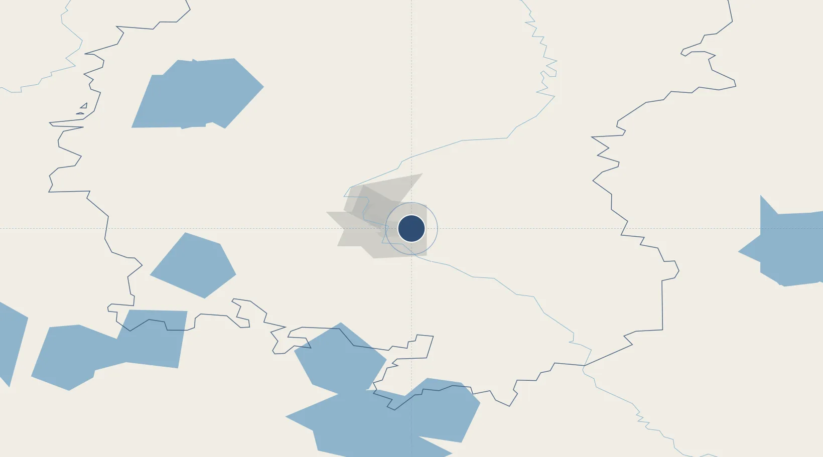
54.9750°, 73.5550°
9,842 ft
Longest runway
1
Runways
380 ft
Elevation

Runway & Layout

Omsk Severny Airport runway & taxiway layout
Runway & taxiway layout — OpenStreetMap (ODbL) / OurAirports

Runways · 1

RunwayDimensions SurfaceTrue headingLit
04/22 9,842 × 262ft Concrete
OurAirports

Airport Specifications

ICAO code
UNOS
OurAirports
Airport class
Medium airport
OurAirports
Scheduled service
No
OurAirports
Runway surface
Concrete
OurAirports
Served city
Omsk
OurAirports

Location

Location of UNOS
Natural Earth 10m (public domain) · Omsk · UNOS · 54.97, 73.56GoogleOSMYandex

Nearby Logistics Neighbours

Airports
  1. 1Omsk Central Airport16 km
  2. 2Petropavl International Airport280 km
  3. 3Kokshetau International Airport316 km
  4. 4Pavlodar International Airport387 km
  5. 5Ekibastuz Airport392 km
Nearest neighbours — logibook spatial index (haversine) over the source coordinates
Cities
  1. 1Omsk5 km
  2. 2Beskol286 km
  3. 3Kokchetav329 km
  4. 4Kökshetau331 km
  5. 5Bielstein447 km
Nearest neighbours — logibook spatial index (haversine) over the source coordinates
Ports
  1. 1Igarka1546 km
  2. 2Dudinka1724 km
  3. 3Port Dikson2085 km
  4. 4Bandar-E Mahshahr3339 km
  5. 5Bandar Khomeyni3346 km
Nearest neighbours — logibook spatial index (haversine) over the source coordinates
Trade Zones
  1. 1Qyzyljar Special Economic Zone281 km
  2. 2Pavlodar Special Economic Zone364 km
  3. 3Astana New City Special Economic Zone449 km
  4. 4Astana Technopolis Special Economic Zone456 km
  5. 5Saryarka Special Economic Zone570 km
Nearest neighbours — logibook spatial index (haversine) over the source coordinates
DatabookThe Record of Consolidated Knowledge
Russia beyond logistics?
Browse databook

All Sources

AirportsOurAirports
Public domain
Portsthe NGA World Port Index
Public domain (US gov)
LocationsUN/LOCODE
UN/LOCODE — free
Trade Zonesthe World Bank SEZ database
CC BY 4.0
Trade ZonesOpen Zone Map
CC BY
InfrastructureOpenStreetMap
ODbL 1.0
← Russia airports