Diversified Zone · Kazakhstan

Pavlodar Special Economic Zone Active
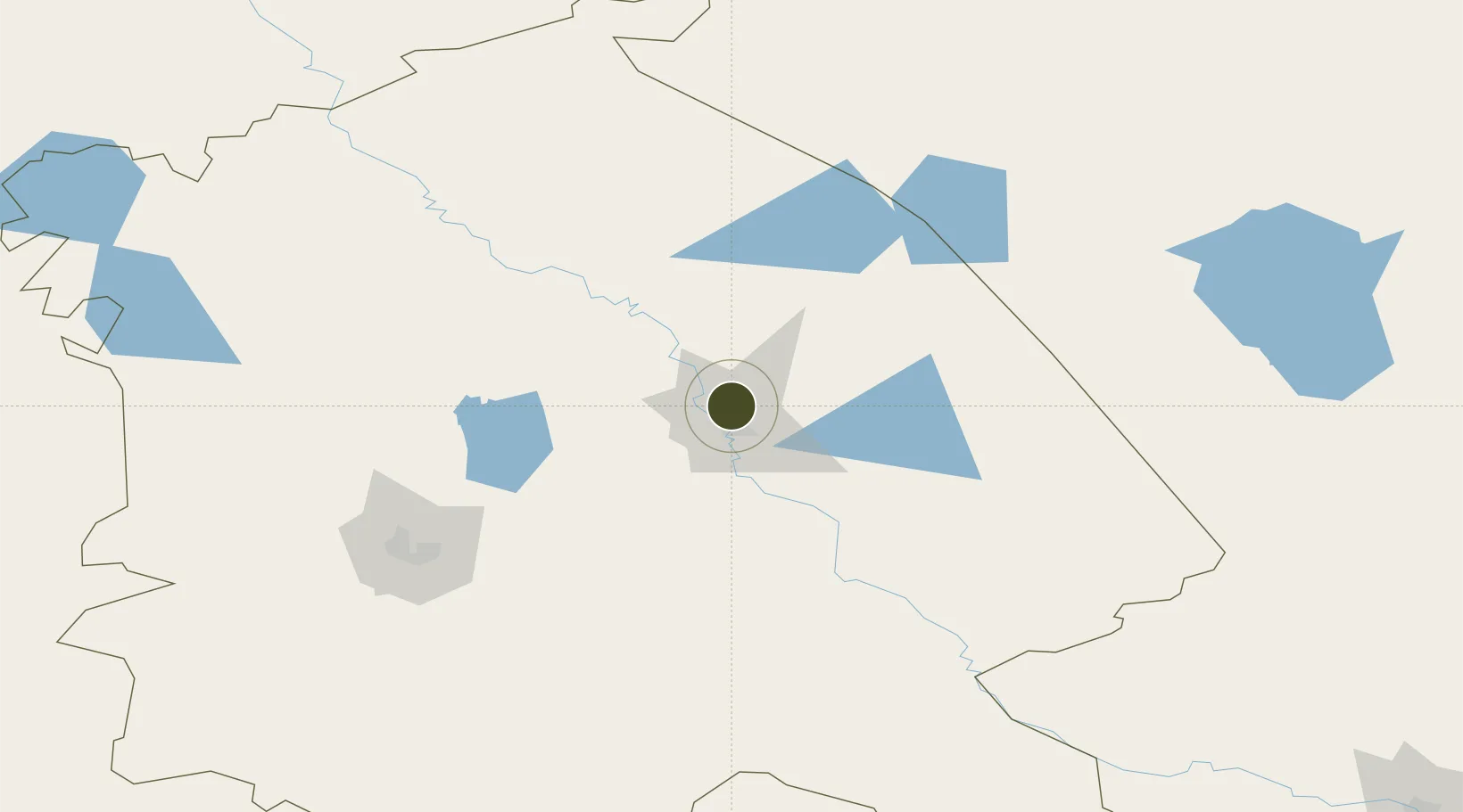
52.3871°, 76.9422°
3,300 ha
Zone area
1,755.1 km
Nearest port
23.1 km
Nearest airport

Gateway access

Nearest neighbours — logibook spatial index (haversine) over the source coordinates

Zone profile

Zone type
Diversified Zone
Open Zone Map
Region
Pavlodar
Open Zone Map
Status
Active
Open Zone Map
Management
Public
Open Zone Map
Operator
JSC Management Company of the Special Economic Zone "Pavlodar"
Open Zone Map
Legal framework
Decree of the President of the Republic of Kazakhstan dated November 29, 2011
Open Zone Map

Location

Location of ozm-2644
Natural Earth 10m (public domain) · Pavlodar · ozm-2644 · 52.39, 76.94GoogleOSMYandex

Nearby Logistics Neighbours

Ports
  1. 1Igarka1755 km
  2. 2Dudinka1951 km
  3. 3Port Dikson2354 km
  4. 4Jazireh-Ye Hormoz3288 km
  5. 5Bandar Abbas3293 km
Nearest neighbours — logibook spatial index (haversine) over the source coordinates
Airports
  1. 1Pavlodar International Airport23 km
  2. 2Ekibastuz Airport148 km
  3. 3Kurchatov Airfield214 km
  4. 4Dolon Air Base258 km
  5. 5Semei International Airport322 km
Nearest neighbours — logibook spatial index (haversine) over the source coordinates
Cities
  1. 1Dernbach289 km
  2. 2Bielstein314 km
  3. 3Waigandshain331 km
  4. 4Omsk369 km
  5. 5Temirtau379 km
Nearest neighbours — logibook spatial index (haversine) over the source coordinates
Trade Zones
  1. 1Saryarka Special Economic Zone382 km
  2. 2Astana New City Special Economic Zone403 km
  3. 3Astana Technopolis Special Economic Zone408 km
  4. 4Qyzyljar Special Economic Zone582 km
  5. 5Turquoise Katun Tourism Zone591 km
Nearest neighbours — logibook spatial index (haversine) over the source coordinates
DatabookThe Record of Consolidated Knowledge
Kazakhstan beyond logistics?
Browse databook

All Sources

Trade ZonesOpen Zone Map
CC BY
Portsthe NGA World Port Index
Public domain (US gov)
AirportsOurAirports
Public domain
LocationsUN/LOCODE
UN/LOCODE — free
← Kazakhstan trade zones