Transport Functions
Multimodal
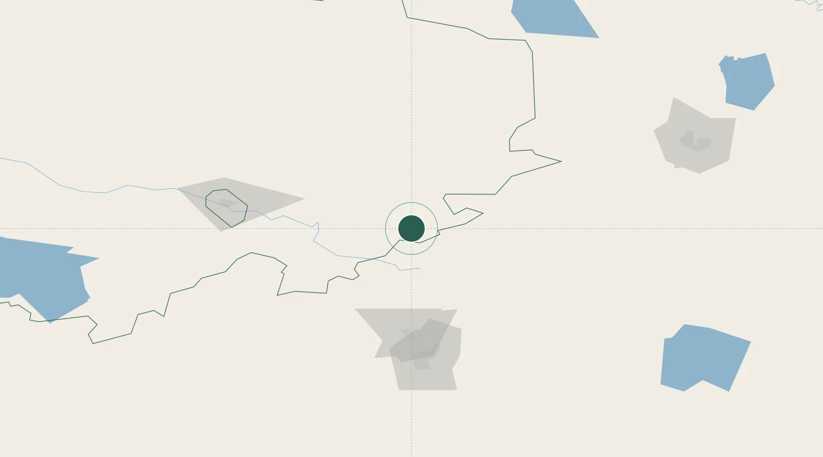
Hub Profile
Place type
Populated place
Region
North Rhine-Westphalia
Time zone
Europe/Berlin
Elevation
203 m
Location
Nearby Logistics Neighbours
Ports
- 1Igarka1980 km
- 2Dudinka2164 km
- 3Port Dikson2532 km
- 4Jazireh-Ye Hormoz2999 km
- 5Bandar Abbas3003 km
Airports
- 1Nursultan Nazarbayev International Airport108 km
- 2Sary-Arka Airport146 km
- 3Ekibastuz Airport169 km
- 4Pavlodar International Airport313 km
- 5Kokshetau International Airport351 km
Trade Zones
DatabookThe Record of Consolidated Knowledge
Germany beyond logistics?