Transport Functions
Rail
Road
Airport
Hub Profile
Place type
Regional capital
Region
Aqmola
Population
150,649
Time zone
Asia/Almaty
Elevation
231 m
Logistics facilities
1
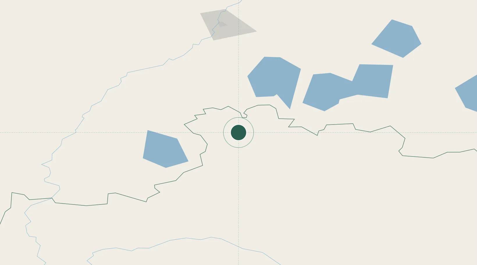
Location
Nearby Logistics Neighbours
Ports
- 1Igarka1824 km
- 2Mezen1965 km
- 3Dudinka1988 km
- 4Port Dikson2307 km
- 5Bandar-E Mahshahr3015 km
Airports
Trade Zones
DatabookThe Record of Consolidated Knowledge
Kazakhstan beyond logistics?