Large airport · Kazakhstan

Kokshetau International AirportUACK
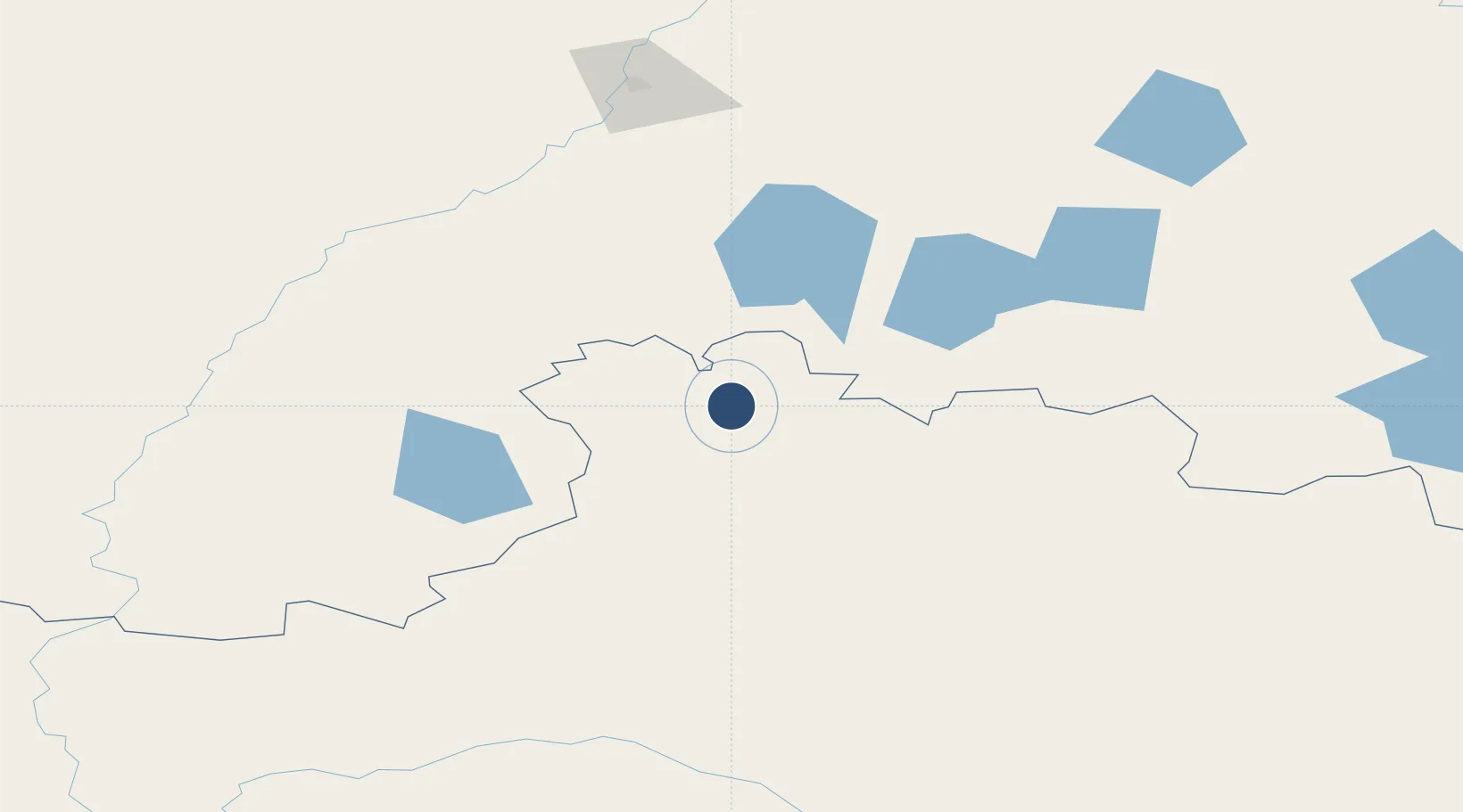
53.3291°, 69.5946°
8,325 ft
Longest runway
1
Runways
900 ft
Elevation

Runway & Layout

Kokshetau International Airport runway & taxiway layout
Runway & taxiway layout — OpenStreetMap (ODbL) / OurAirports

Runways · 1

RunwayDimensions SurfaceTrue headingLit
02/20 8,325 × 125ft Asphalt 032°
OurAirports

Airport Specifications

IATA code
KOV
OurAirports
ICAO code
UACK
OurAirports
Airport class
Large airport
OurAirports
Scheduled service
Yes
OurAirports
Runway surface
Asphalt
OurAirports
Served city
Kokshetau
OurAirports

Location

Location of UACK
Natural Earth 10m (public domain) · Aqmola · UACK · 53.33, 69.59GoogleOSMYandex

Nearby Logistics Neighbours

Airports
  1. 1Petropavl International Airport163 km
  2. 2Nursultan Nazarbayev International Airport286 km
  3. 3Omsk Central Airport303 km
  4. 4Omsk Severny Airport316 km
  5. 5Kurgan Airport361 km
Nearest neighbours — logibook spatial index (haversine) over the source coordinates
Cities
  1. 1Kokchetav13 km
  2. 2Kökshetau15 km
  3. 3Beskol163 km
  4. 4Gieten306 km
  5. 5Omsk313 km
Nearest neighbours — logibook spatial index (haversine) over the source coordinates
Ports
  1. 1Igarka1814 km
  2. 2Mezen1969 km
  3. 3Dudinka1978 km
  4. 4Port Dikson2300 km
  5. 5Bandar-E Mahshahr3029 km
Nearest neighbours — logibook spatial index (haversine) over the source coordinates
Trade Zones
  1. 1Qyzyljar Special Economic Zone174 km
  2. 2Astana New City Special Economic Zone274 km
  3. 3Astana Technopolis Special Economic Zone278 km
  4. 4Saryarka Special Economic Zone462 km
  5. 5Pavlodar Special Economic Zone504 km
Nearest neighbours — logibook spatial index (haversine) over the source coordinates
DatabookThe Record of Consolidated Knowledge
Kazakhstan beyond logistics?
Browse databook

All Sources

AirportsOurAirports
Public domain
Portsthe NGA World Port Index
Public domain (US gov)
LocationsUN/LOCODE
UN/LOCODE — free
Trade Zonesthe World Bank SEZ database
CC BY 4.0
Trade ZonesOpen Zone Map
CC BY
InfrastructureOpenStreetMap
ODbL 1.0
← Kazakhstan airports