Transport Functions
Rail
Road
Hub Profile
Place type
Populated place
Region
Jetisu Region
Time zone
Asia/Almaty
Elevation
393 m
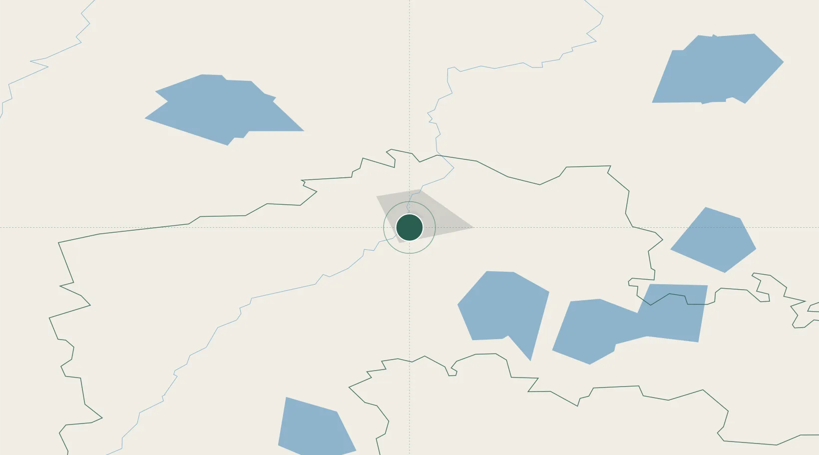
Location
Nearby Logistics Neighbours
Ports
- 1Igarka1682 km
- 2Mezen1821 km
- 3Dudinka1839 km
- 4Port Dikson2147 km
- 5Bandar-E Mahshahr3131 km
Airports
- 1Petropavl International Airport6 km
- 2Kokshetau International Airport163 km
- 3Kurgan Airport247 km
- 4Omsk Central Airport270 km
- 5Omsk Severny Airport286 km
Trade Zones
DatabookThe Record of Consolidated Knowledge
Kazakhstan beyond logistics?