UN/LOCODE hub · Kazakhstan
KZZAC

Kokchetav

53.2667°, 69.4333°
1
Transport functions

Transport Functions

Multimodal
UN/LOCODE

Location

Location of KZZAC
Natural Earth 10m (public domain) · Aqmola · KZZAC · 53.27, 69.43GoogleOSMYandex

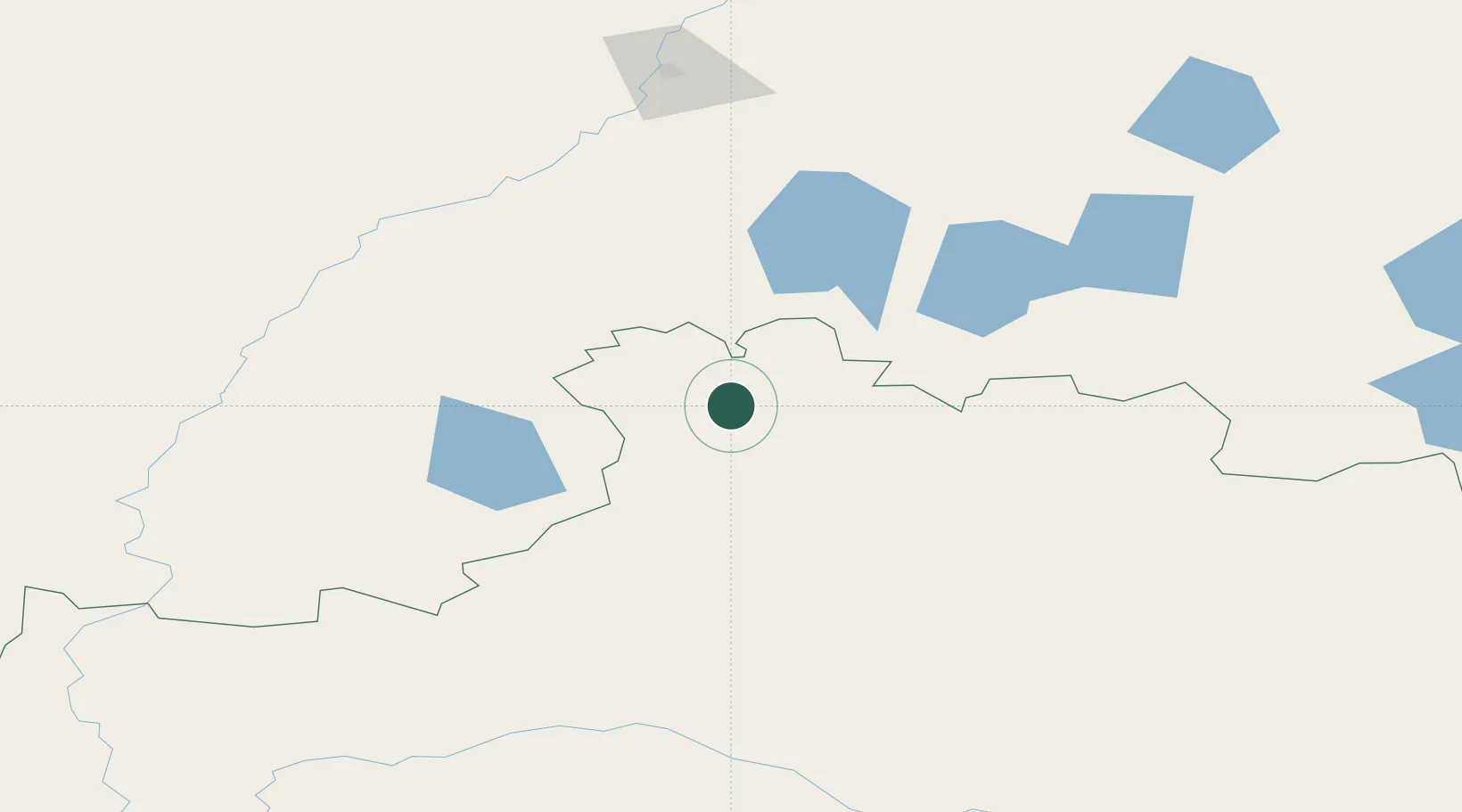
Nearby Logistics Neighbours

Cities
  1. 1Kökshetau4 km
  2. 2Beskol168 km
  3. 3Gieten295 km
  4. 4Omsk326 km
  5. 5Bielstein353 km
Nearest neighbours — logibook spatial index (haversine) over the source coordinates
Ports
  1. 1Igarka1824 km
  2. 2Mezen1968 km
  3. 3Dudinka1988 km
  4. 4Port Dikson2308 km
  5. 5Bandar-E Mahshahr3016 km
Nearest neighbours — logibook spatial index (haversine) over the source coordinates
Airports
  1. 1Kokshetau International Airport13 km
  2. 2Petropavl International Airport169 km
  3. 3Nursultan Nazarbayev International Airport285 km
  4. 4Omsk Central Airport315 km
  5. 5Omsk Severny Airport329 km
Nearest neighbours — logibook spatial index (haversine) over the source coordinates
Trade Zones
  1. 1Qyzyljar Special Economic Zone179 km
  2. 2Astana New City Special Economic Zone273 km
  3. 3Astana Technopolis Special Economic Zone277 km
  4. 4Saryarka Special Economic Zone462 km
  5. 5Pavlodar Special Economic Zone514 km
Nearest neighbours — logibook spatial index (haversine) over the source coordinates
DatabookThe Record of Consolidated Knowledge
Kazakhstan beyond logistics?
Browse databook

All Sources

LocationsUN/LOCODE
UN/LOCODE — free
Portsthe NGA World Port Index
Public domain (US gov)
AirportsOurAirports
Public domain
Trade Zonesthe World Bank SEZ database
CC BY 4.0
Trade ZonesOpen Zone Map
CC BY
← Kazakhstan locations