Medium airport · Russia

Belaya Gora AirportUESG

68.5562°, 146.2278°
118 ft
Elevation

Runway & Layout

Belaya Gora Airport runway & taxiway layout
Runway & taxiway layout — OpenStreetMap (ODbL) / OurAirports

Airport Specifications
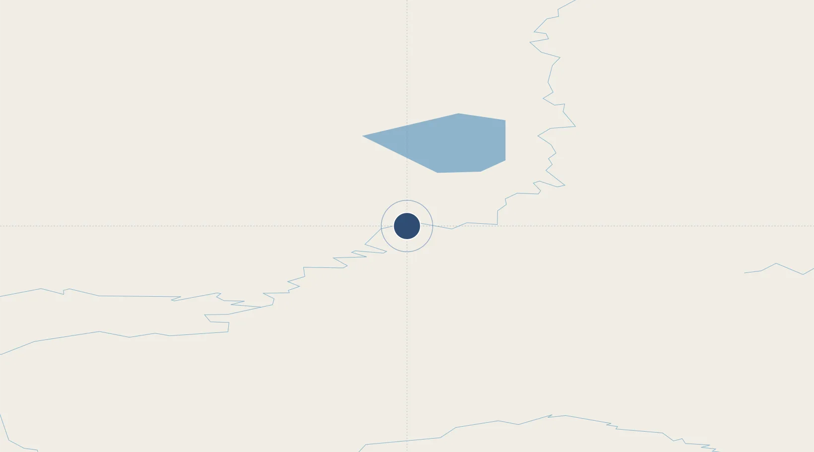
IATA code
BGN
OurAirports
ICAO code
UESG
OurAirports
Airport class
Medium airport
OurAirports
Scheduled service
No
OurAirports
Served city
Belaya Gora
OurAirports

Location

Location of UESG
Natural Earth 10m (public domain) · Sakha (Yakutia) · UESG · 68.56, 146.23GoogleOSMYandex

Nearby Logistics Neighbours

Airports
  1. 1Chokurdakh Airport239 km
  2. 2Moma Airport266 km
  3. 3Deputatskiy Airport269 km
  4. 4Srednekolymsk Airport334 km
  5. 5Zyryanka Airport371 km
Nearest neighbours — logibook spatial index (haversine) over the source coordinates
Cities
  1. 1Ambarchik647 km
  2. 2Kotel'nyy872 km
  3. 3Magadansky, Port1023 km
  4. 4Okha, Sakhalin1675 km
  5. 5Widuchowa1728 km
Nearest neighbours — logibook spatial index (haversine) over the source coordinates
Ports
  1. 1Tiksi737 km
  2. 2Bukhta Nagayeva (Magadan)1023 km
  3. 3Okhotsk Iy Reyd1032 km
  4. 4Moskal Vo1676 km
  5. 5Okha1677 km
Nearest neighbours — logibook spatial index (haversine) over the source coordinates
Trade Zones
  1. 1Tahe Industrial Demonstration Base2129 km
  2. 2Huma Industrial Demonstration Base2140 km
  3. 3Sovetskaya Gavan Free Zone2202 km
  4. 4Xunke Economic Development Zone2322 km
  5. 5Fuyuan Sino-Russian Border Open Demonstration Zone2338 km
Nearest neighbours — logibook spatial index (haversine) over the source coordinates
DatabookThe Record of Consolidated Knowledge
Russia beyond logistics?
Browse databook

All Sources

AirportsOurAirports
Public domain
Portsthe NGA World Port Index
Public domain (US gov)
LocationsUN/LOCODE
UN/LOCODE — free
Trade Zonesthe World Bank SEZ database
CC BY 4.0
Trade ZonesOpen Zone Map
CC BY
InfrastructureOpenStreetMap
ODbL 1.0
← Russia airports