Transport Functions
Rail
Road
Hub Profile
Place type
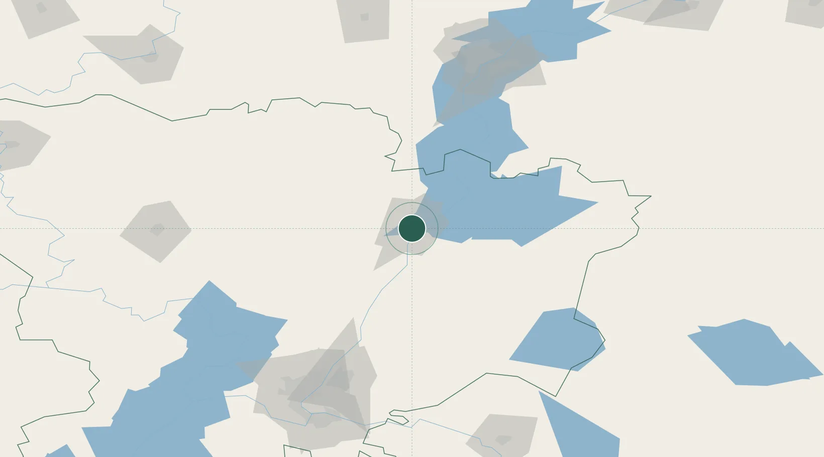
Provincial seat
Region
Volgograd Oblast
Population
128,626
Time zone
Europe/Volgograd
Elevation
18 m
Location
Nearby Logistics Neighbours
Ports
- 1Rostov-Na-Donu530 km
- 2Azov551 km
- 3Taganrog573 km
- 4Yeysk646 km
- 5Mariupol666 km
Airports
- 1Lebyazhye Air Base18 km
- 2Kapustin Yar Airfield161 km
- 3Engels Air Base164 km
- 4Volgograd International Airport166 km
- 5Gagarin International Airport187 km
DatabookThe Record of Consolidated Knowledge
Russia beyond logistics?