Transport Functions
Port
Hub Profile
Place type
Provincial seat
Region
Volgograd Oblast
Population
15,217
Time zone
Europe/Volgograd
Elevation
41 m
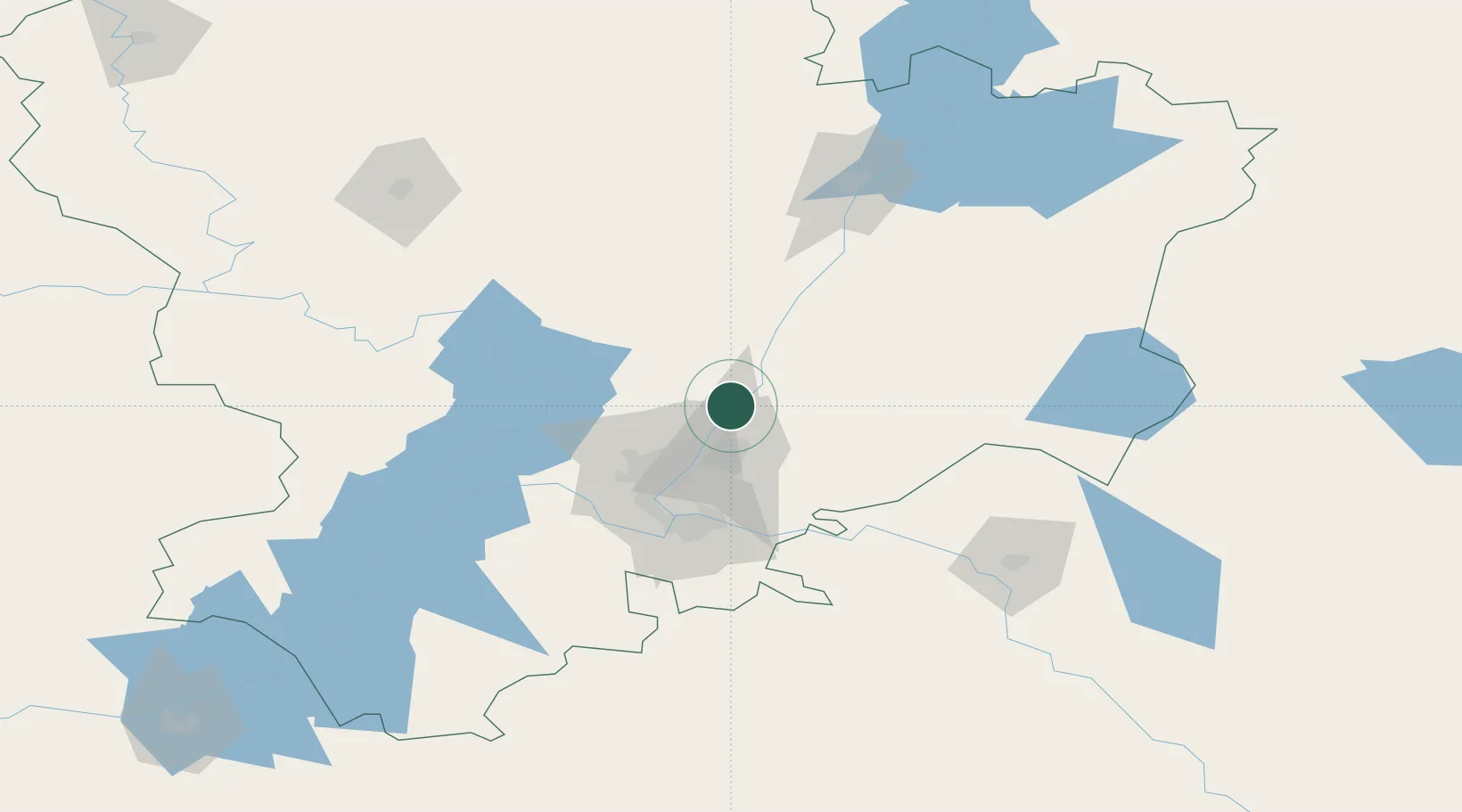
Location
Nearby Logistics Neighbours
Cities
- 1Volgograd33 km
- 2Sarepta37 km
- 3Kamyshin124 km
- 4Tsimlyansk255 km
- 5Ulvenhout280 km
Ports
- 1Rostov-Na-Donu433 km
- 2Azov455 km
- 3Taganrog481 km
- 4Yeysk552 km
- 5Mariupol581 km
Airports
- 1Volgograd International Airport46 km
- 2Kapustin Yar Airfield79 km
- 3Lebyazhye Air Base131 km
- 4Akhtubinsk Air Base133 km
- 5Engels Air Base288 km
DatabookThe Record of Consolidated Knowledge
Russia beyond logistics?