Transport Functions
Port
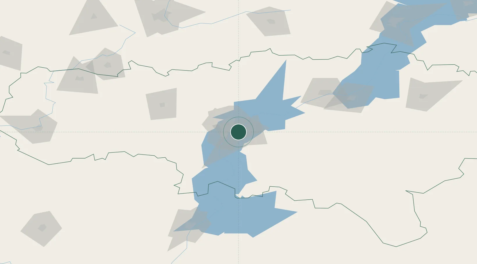
Hub Profile
Place type
Populated place
Region
Saratov Oblast
Population
196,011
Time zone
Europe/Saratov
Elevation
12 m
Location
Nearby Logistics Neighbours
Cities
- 1Tatishchevo40 km
- 2Ulvenhout55 km
- 3Polsbroek85 km
- 4Sennoy94 km
- 5Kamyshin164 km
Ports
- 1Rostov-Na-Donu668 km
- 2Azov688 km
- 3Taganrog705 km
- 4Yeysk779 km
- 5Mariupol790 km
Airports
- 1Engels Air Base7 km
- 2Gagarin International Airport24 km
- 3Bagay-Baranovka Air Base92 km
- 4Balakovo Airport119 km
- 5Lebyazhye Air Base158 km
Trade Zones
DatabookThe Record of Consolidated Knowledge
Russia beyond logistics?