Large airport · Russia
Volgograd International AirportURWW
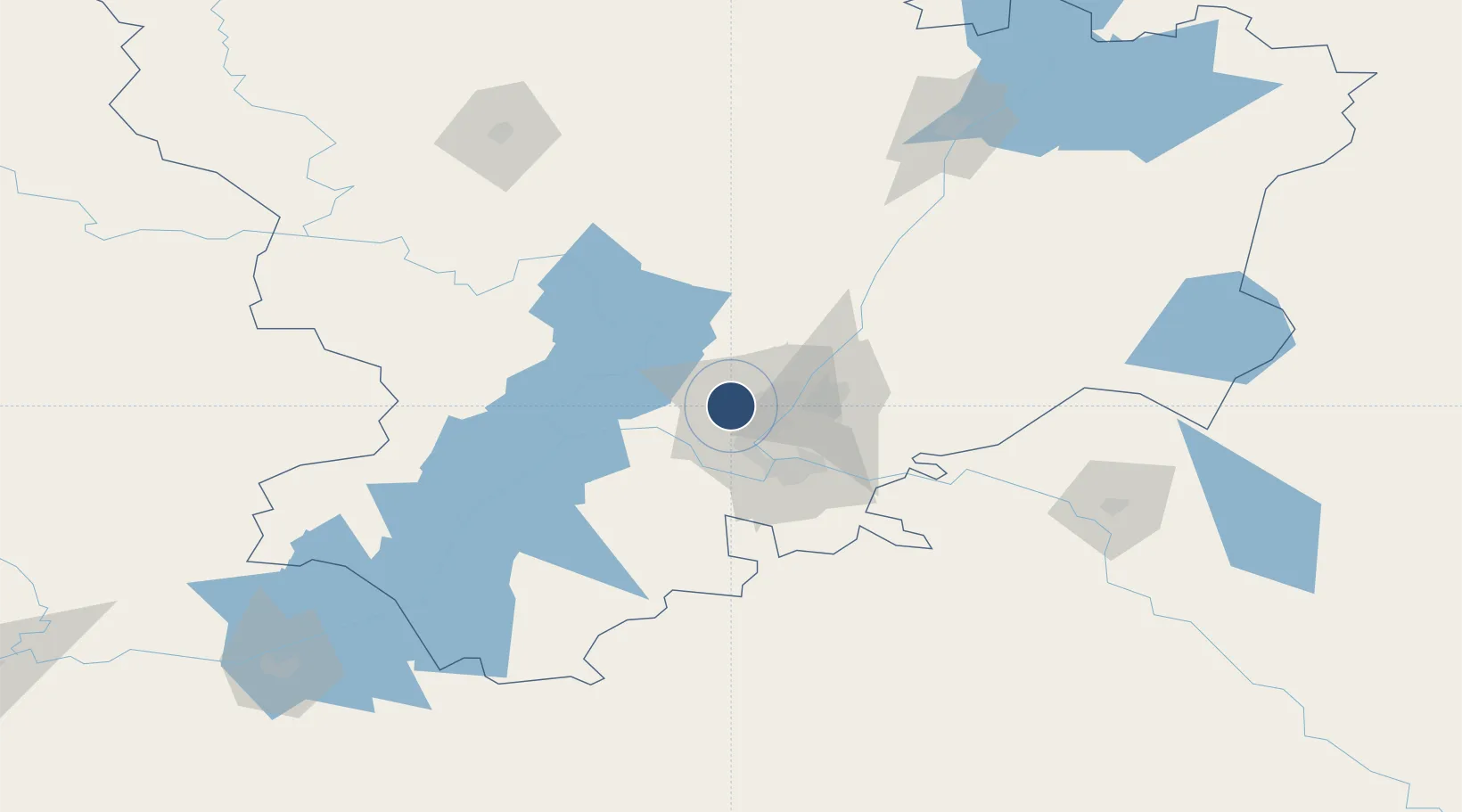
48.7813°, 44.3392°
9,186 ft
Longest runway
1
Runways
482 ft
Elevation
Runway & Layout

Radio Frequencies
ATIS
132.8 MHz
VOLOGRAD ATIS
TWR
128 MHz
GND
119 MHz
APP
125.3 MHz
VOLGOGRAD APP
GCA
128 MHz
RDR
122 MHz
ASR
Navaids
WD NDB Gumrak 325 kHz
WG NDB Gumrak 325 kHz
Runways · 1
| Runway | Dimensions | Surface | True heading | Lit |
|---|---|---|---|---|
| 05/23 | 9,186 × 148ft | Concrete | 064° | ✓ |
Airport Specifications
IATA code
VOG
ICAO code
URWW
Airport class
Large airport
Scheduled service
Yes
Runway surface
Concrete
Served city
Volgograd
Location
Nearby Logistics Neighbours
Airports
- 1Kapustin Yar Airfield103 km
- 2Akhtubinsk Air Base149 km
- 3Lebyazhye Air Base170 km
- 4Elista Airport268 km
- 5Millerovo Air Base296 km
Cities
- 1Sarepta12 km
- 2Volgograd18 km
- 3Dubovka46 km
- 4Kamyshin166 km
- 5Tsimlyansk209 km
Ports
- 1Rostov-Na-Donu388 km
- 2Azov410 km
- 3Taganrog438 km
- 4Yeysk508 km
- 5Mariupol539 km
DatabookThe Record of Consolidated Knowledge
Russia beyond logistics?