Medium airport · Russia

Lebyazhye Air BaseXRWL
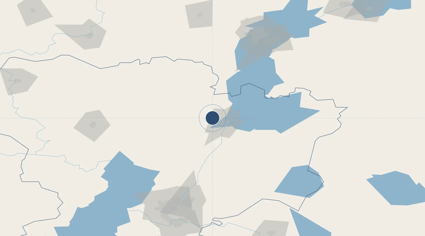
50.2017°, 45.2083°
8,202 ft
Longest runway
1
Runways
381 ft
Elevation

Runway & Layout

Lebyazhye Air Base runway & taxiway layout
Runway & taxiway layout — OpenStreetMap (ODbL) / OurAirports

Runways · 1

RunwayDimensions SurfaceTrue headingLit
03/21 8,202 × 246ft Concrete
OurAirports

Airport Specifications

ICAO code
XRWL
OurAirports
Airport class
Medium airport
OurAirports
Scheduled service
No
OurAirports
Runway surface
Concrete
OurAirports
Served city
Kamyshin
OurAirports

Location

Location of XRWL
Natural Earth 10m (public domain) · Volgograd · XRWL · 50.20, 45.21GoogleOSMYandex

Nearby Logistics Neighbours

Airports
  1. 1Engels Air Base159 km
  2. 2Volgograd International Airport170 km
  3. 3Kapustin Yar Airfield175 km
  4. 4Gagarin International Airport181 km
  5. 5Balashov Air Base200 km
Nearest neighbours — logibook spatial index (haversine) over the source coordinates
Cities
  1. 1Kamyshin18 km
  2. 2Dubovka131 km
  3. 3Ulvenhout150 km
  4. 4Engels158 km
  5. 5Sarepta158 km
Nearest neighbours — logibook spatial index (haversine) over the source coordinates
Ports
  1. 1Rostov-Na-Donu526 km
  2. 2Azov547 km
  3. 3Taganrog567 km
  4. 4Yeysk640 km
  5. 5Mariupol659 km
Nearest neighbours — logibook spatial index (haversine) over the source coordinates
DatabookThe Record of Consolidated Knowledge
Russia beyond logistics?
Browse databook

All Sources

AirportsOurAirports
Public domain
Portsthe NGA World Port Index
Public domain (US gov)
LocationsUN/LOCODE
UN/LOCODE — free
Trade Zonesthe World Bank SEZ database
CC BY 4.0
Trade ZonesOpen Zone Map
CC BY
InfrastructureOpenStreetMap
ODbL 1.0
← Russia airports