UN/LOCODE hub · Russia
RUVOG

Volgograd

48.8000°, 44.5833°
1,013,533
Population
3
Transport functions

Transport Functions

Port
Rail
Airport
UN/LOCODE

Hub Profile

Place type
Regional capital
GeoNames
Region
Volgograd Oblast
GeoNames
Population
1,013,533
GeoNames
Time zone
Europe/Volgograd
GeoNames
Elevation
42 m
GeoNames

Location

Location of RUVOG
Natural Earth 10m (public domain) · Volgograd Oblast · RUVOG · 48.80, 44.58GoogleOSMYandex

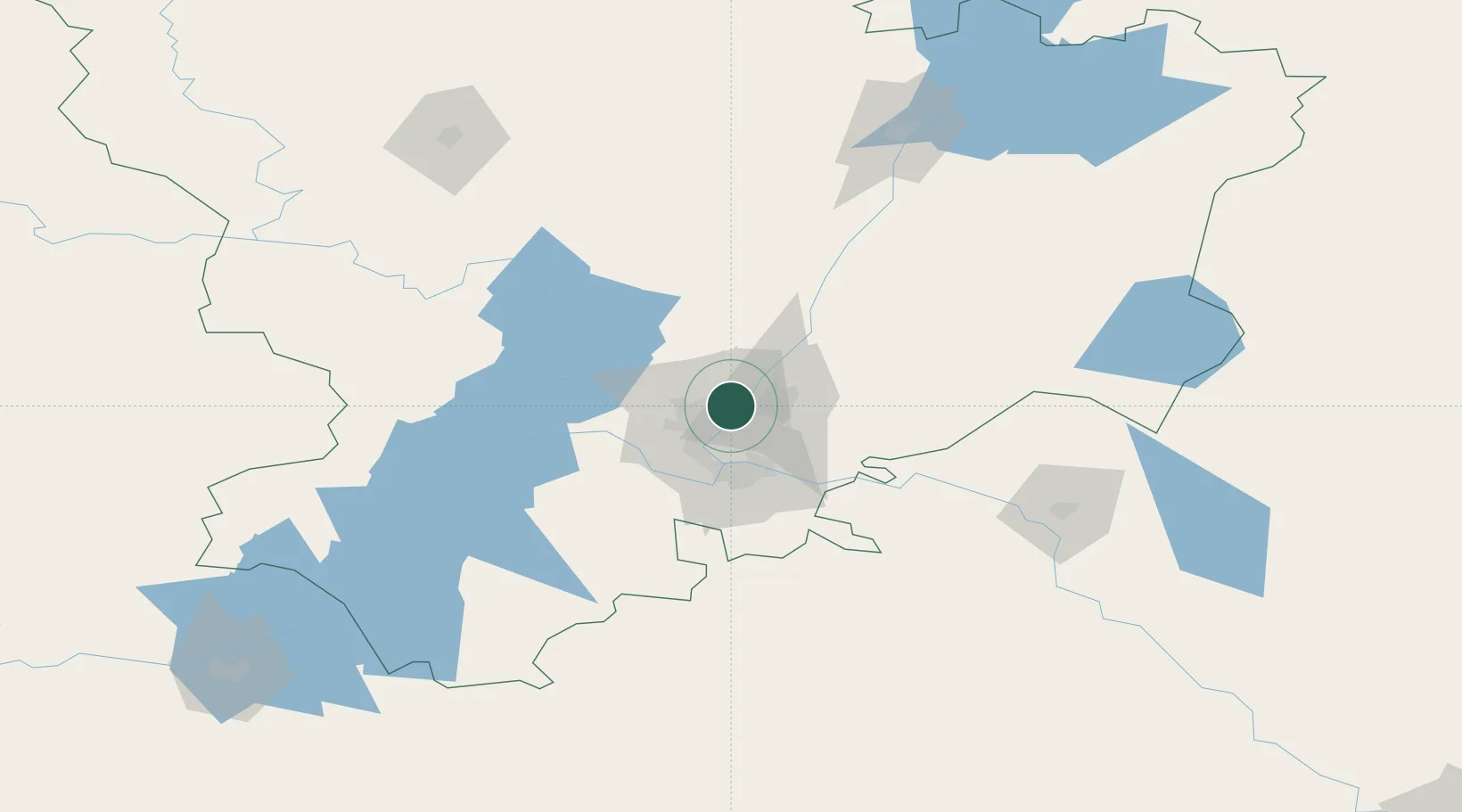
Nearby Logistics Neighbours

Cities
  1. 1Sarepta17 km
  2. 2Dubovka33 km
  3. 3Kamyshin156 km
  4. 4Tsimlyansk225 km
  5. 5Belaya Kalitva289 km
Nearest neighbours — logibook spatial index (haversine) over the source coordinates
Ports
  1. 1Rostov-Na-Donu405 km
  2. 2Azov428 km
  3. 3Taganrog455 km
  4. 4Yeysk525 km
  5. 5Mariupol556 km
Nearest neighbours — logibook spatial index (haversine) over the source coordinates
Airports
  1. 1Volgograd International Airport18 km
  2. 2Kapustin Yar Airfield86 km
  3. 3Akhtubinsk Air Base133 km
  4. 4Lebyazhye Air Base162 km
  5. 5Elista Airport270 km
Nearest neighbours — logibook spatial index (haversine) over the source coordinates
DatabookThe Record of Consolidated Knowledge
Russia beyond logistics?
Browse databook

All Sources

LocationsUN/LOCODE
UN/LOCODE — free
LocationsGeoNames
CC BY 4.0
Portsthe NGA World Port Index
Public domain (US gov)
AirportsOurAirports
Public domain
Trade Zonesthe World Bank SEZ database
CC BY 4.0
Trade ZonesOpen Zone Map
CC BY
← Russia locations